The Spanish era
Maps and pictures from the centuries the islands were ruled from Manila for Spain, until 1898. 33 pictures, before 1898.
Pictures
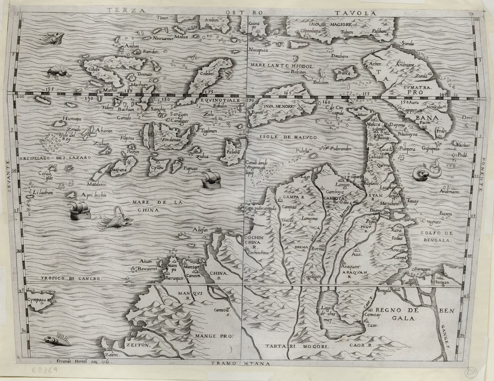
The Philippines
Terza Tavola
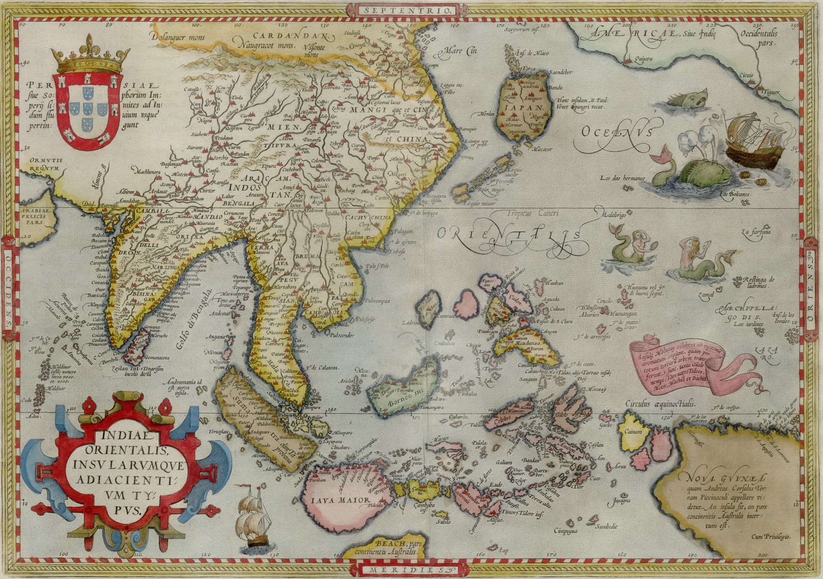
The Philippines
Indiae orientalis insvlarvmqve adiacientivm typvs
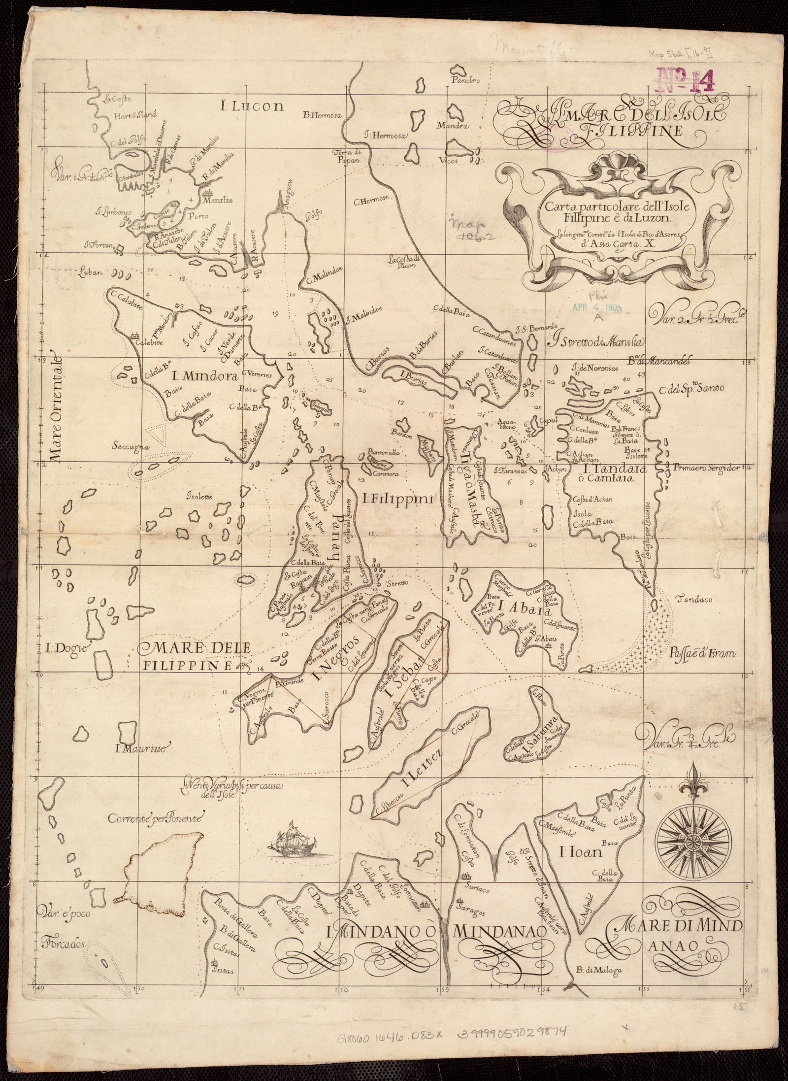
The Philippines
Carta particolare dell'Isole Fillipine è di Luzon : la longitune. cominca. de l'Isola di Pico d'Asores : d'Asia carta X
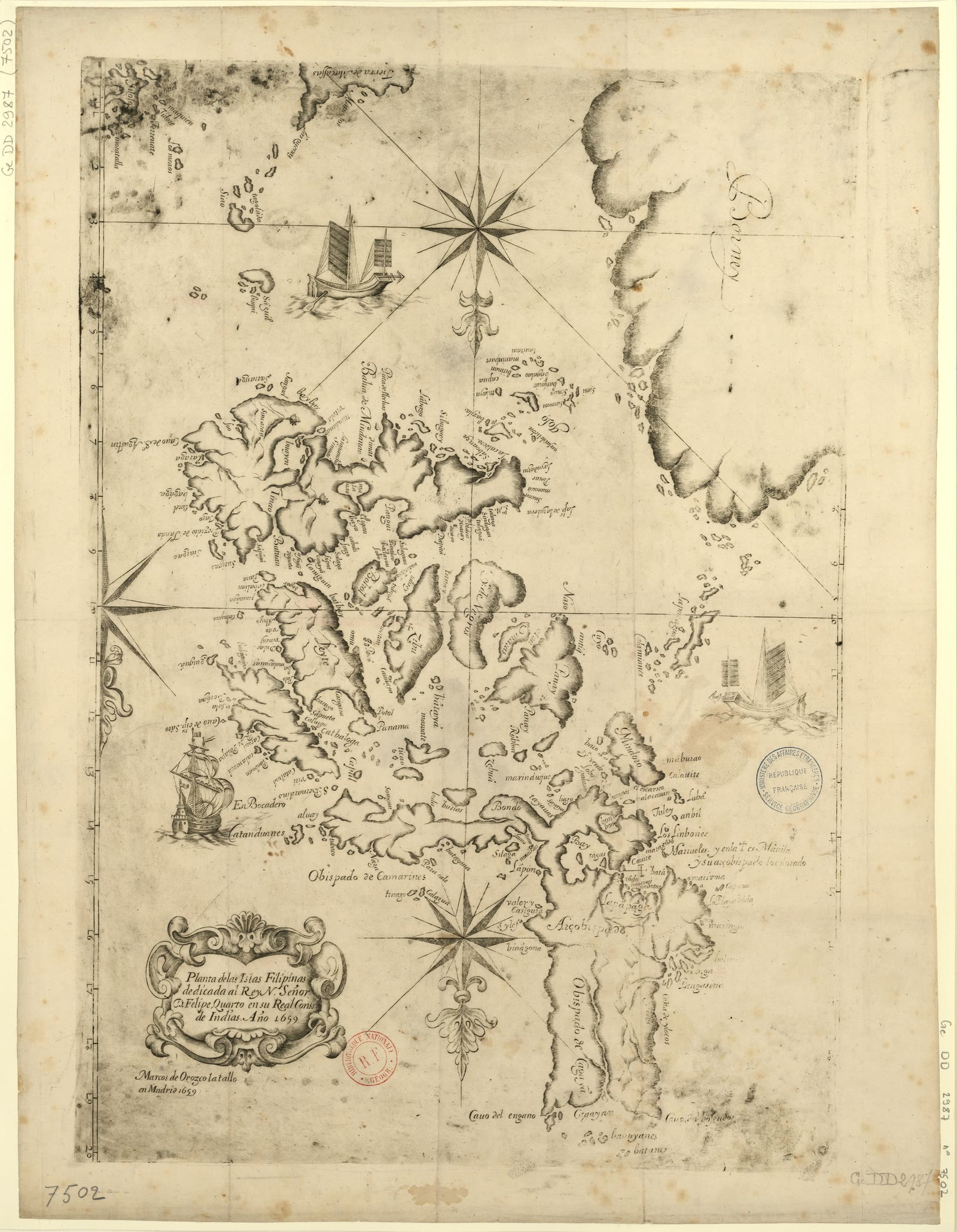
The Philippines
Planta de las islas Filipinas
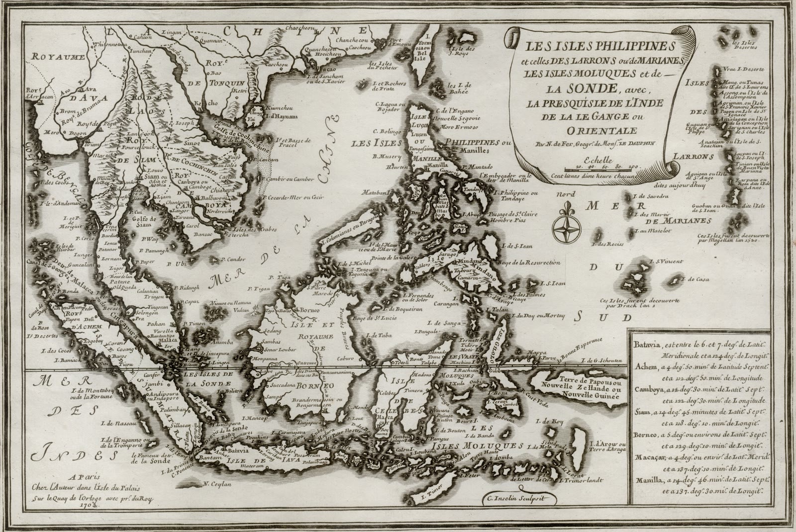
The Philippines
Les isles Philippines et celles des Larrons ou de Marianes, les isles Moluques et de la Sonde
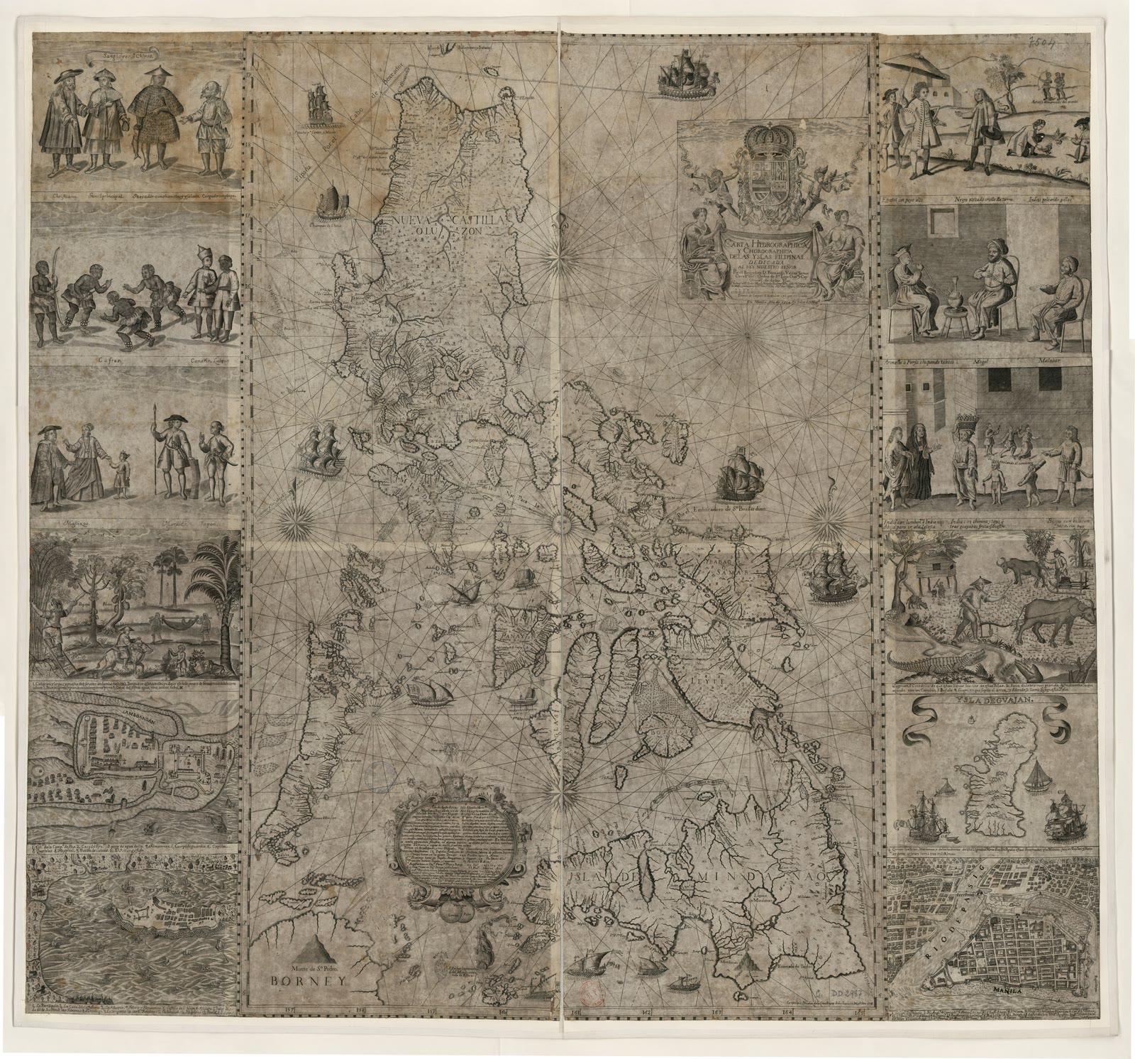
The Philippines
Carta hydrographica y chorographica delas yslas Filipinas
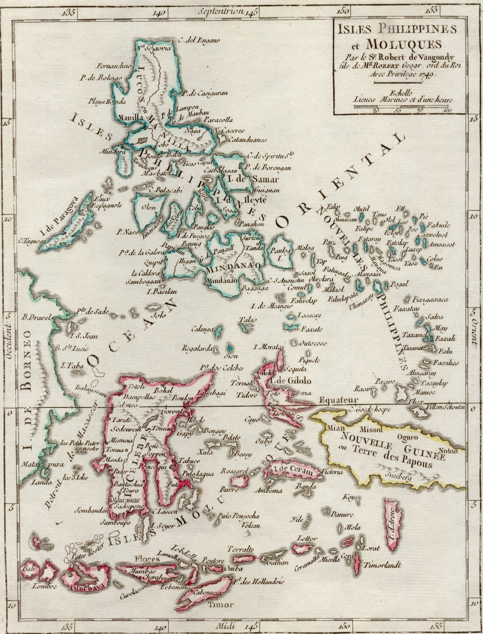
The Philippines
Isles Philippines et Moluques
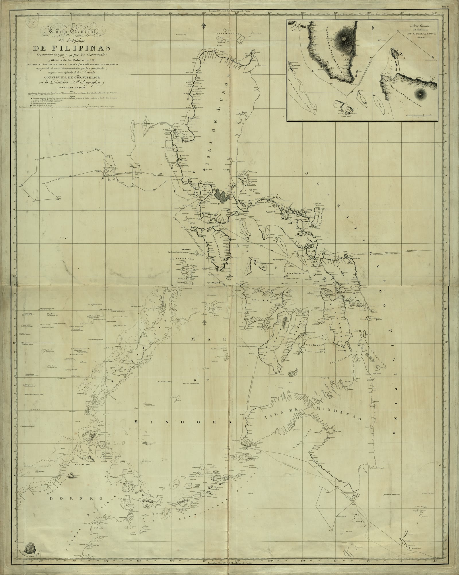
The Philippines
Carta General del Archipielago de Filipinas / Levantada en 1792 y 93 por los Comandantes y Oficiales de las Corbetas de S.M. Descubierta y Atrevida, durante la Campaña que de Rl. Orden hicieron con este objeto, enriquecida de menos reconocimientos que han practicado despues otros Oficiales de la Armada ; Construida de Orn. Superior de la Dirección Hidrográfica y publicada en 1808 ; C. Noguera la delineó ; Cardano la grabó ; J. Morata la escribió
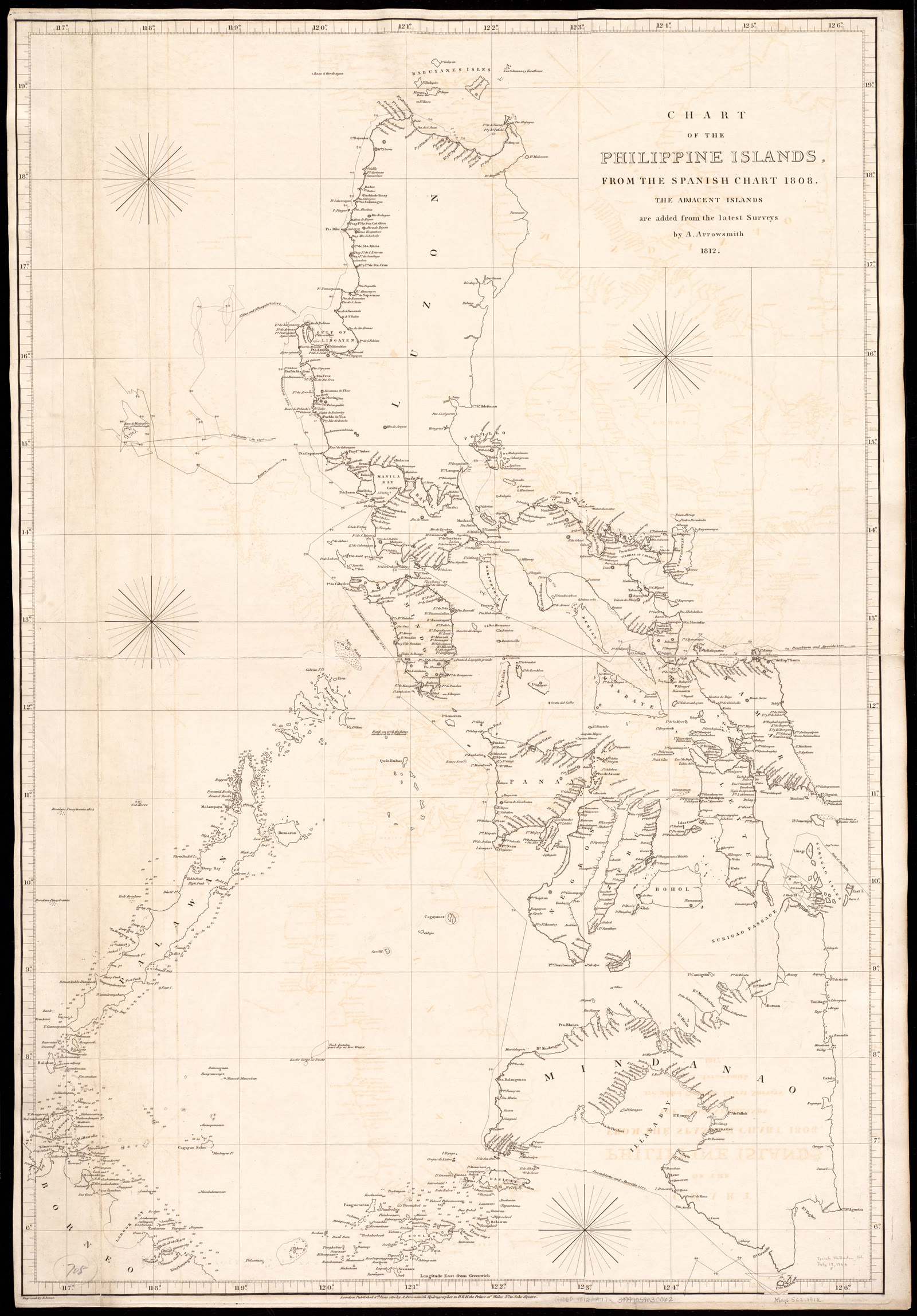
The Philippines
Chart of the Philippine Islands, from the Spanish chart 1808 : the adjacent islands are added from the latest surveys
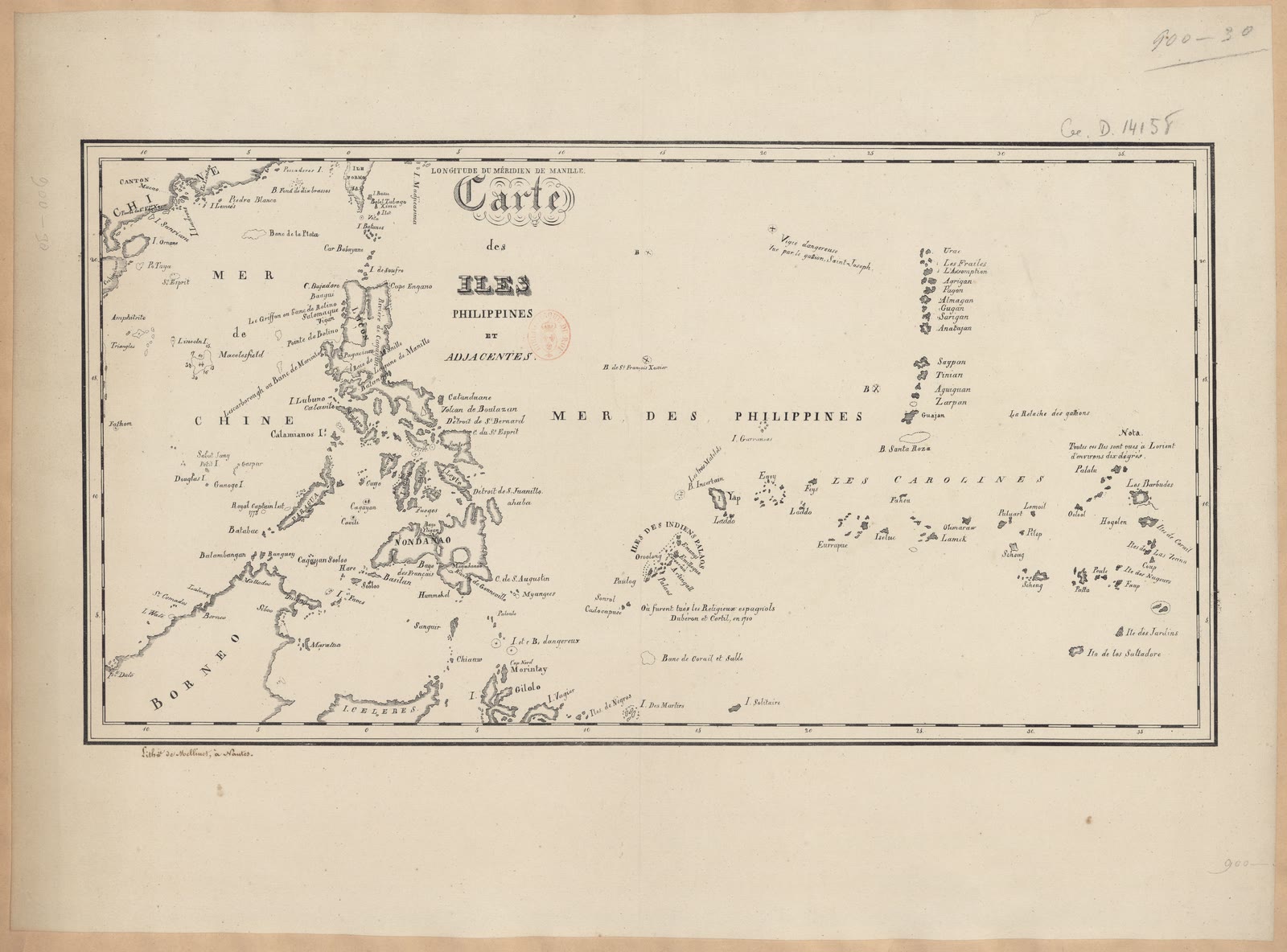
The Philippines
Carte des Iles Philippines et adjacentes
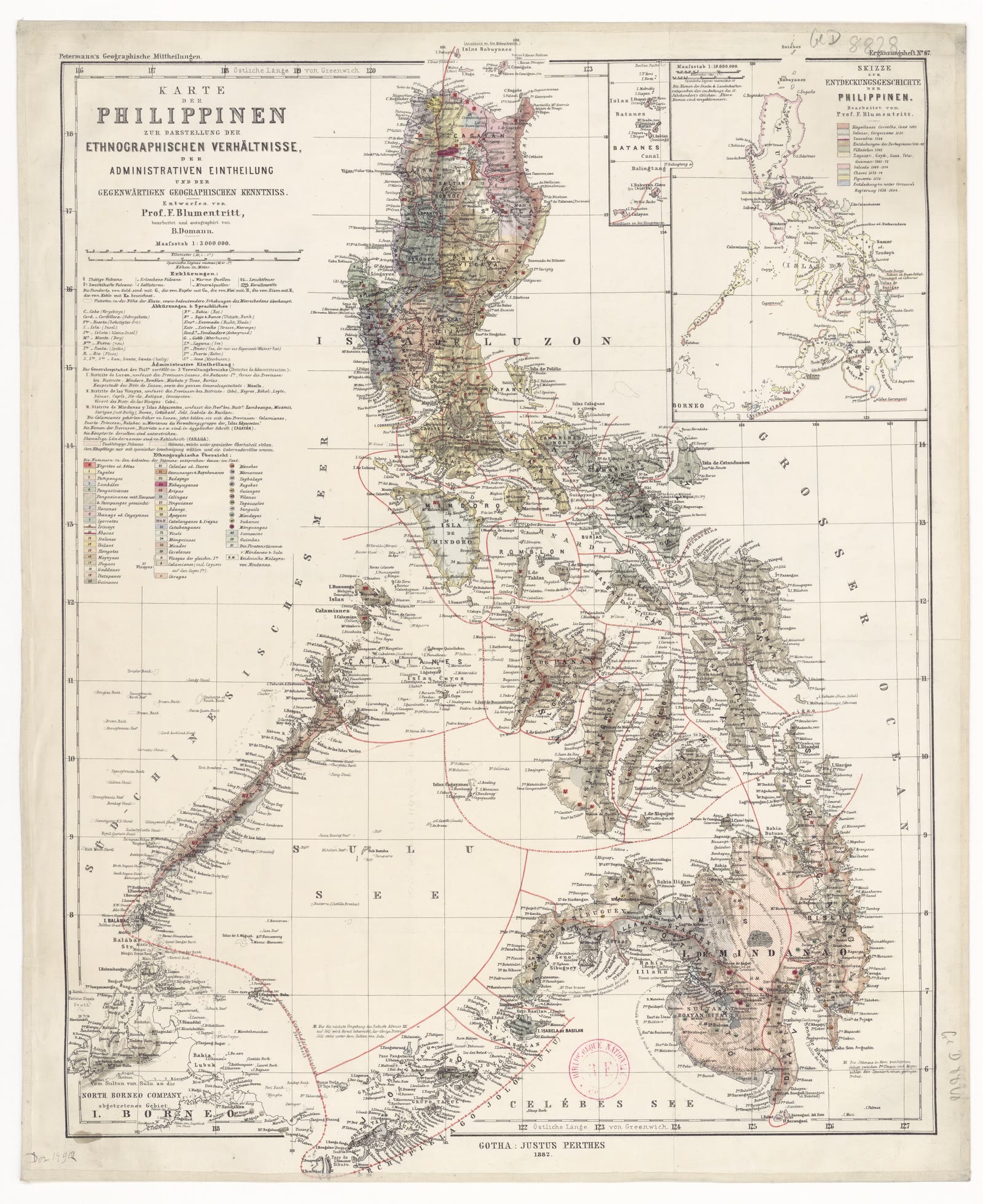
The Philippines
Karte der Philippinen zur Darstellung der ethnographischen Verhältnisse... / entworfen von Prof F. Blumentritt ; bearbeitet... von B. Domam
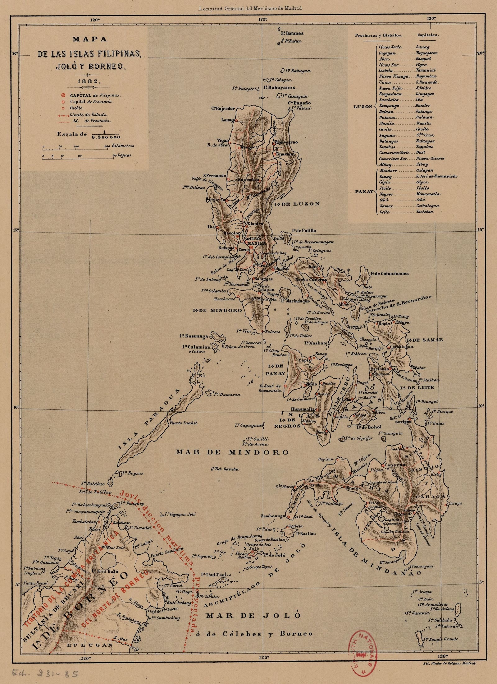
The Philippines
Mapa de las islas Filipinas, Joló y Borneo
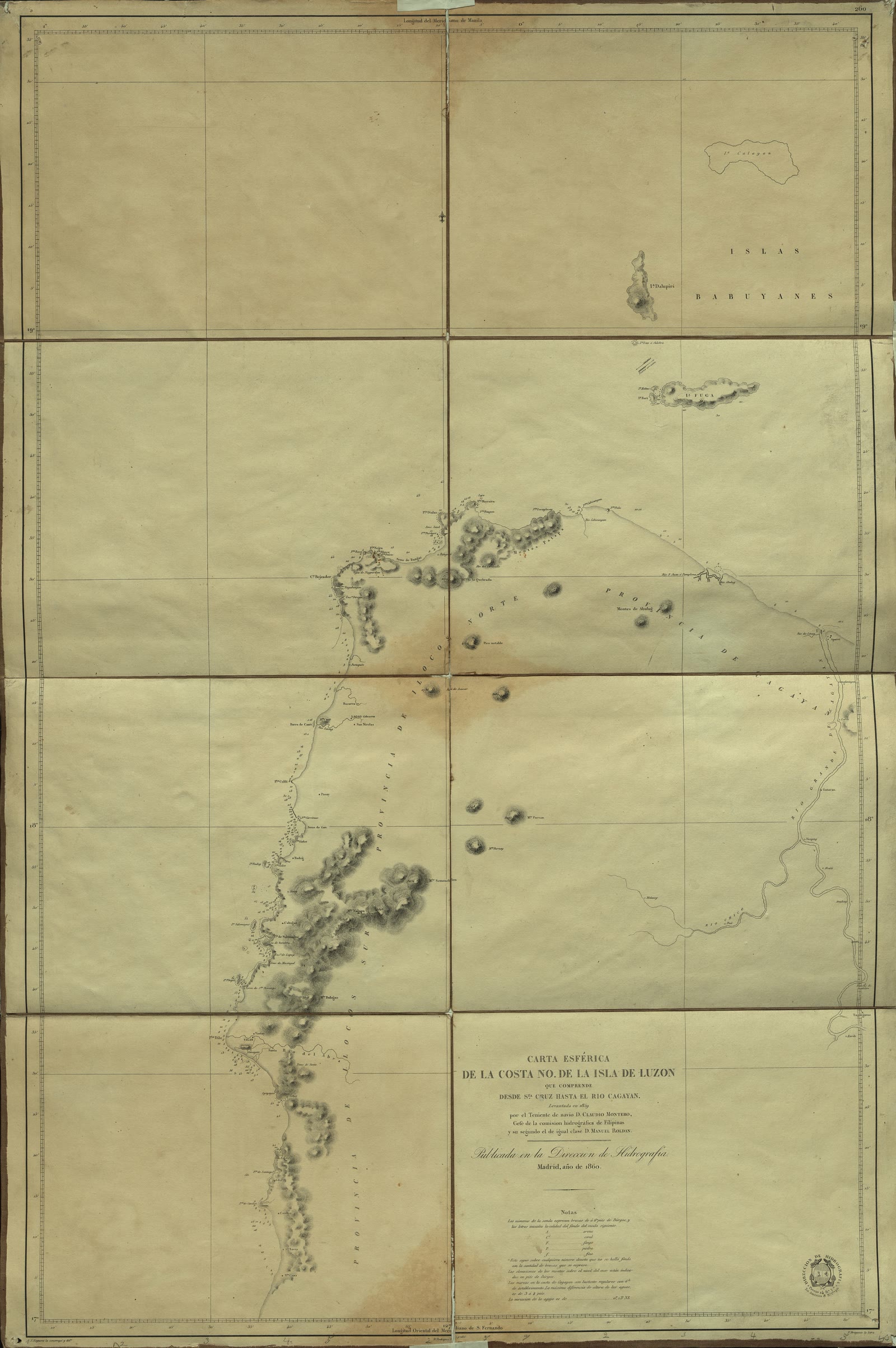
Luzon
Carta esferica de la Costa NO de la Isla de Luzón que comprende desde Sta. Cruz hasta el Rio Cagayan
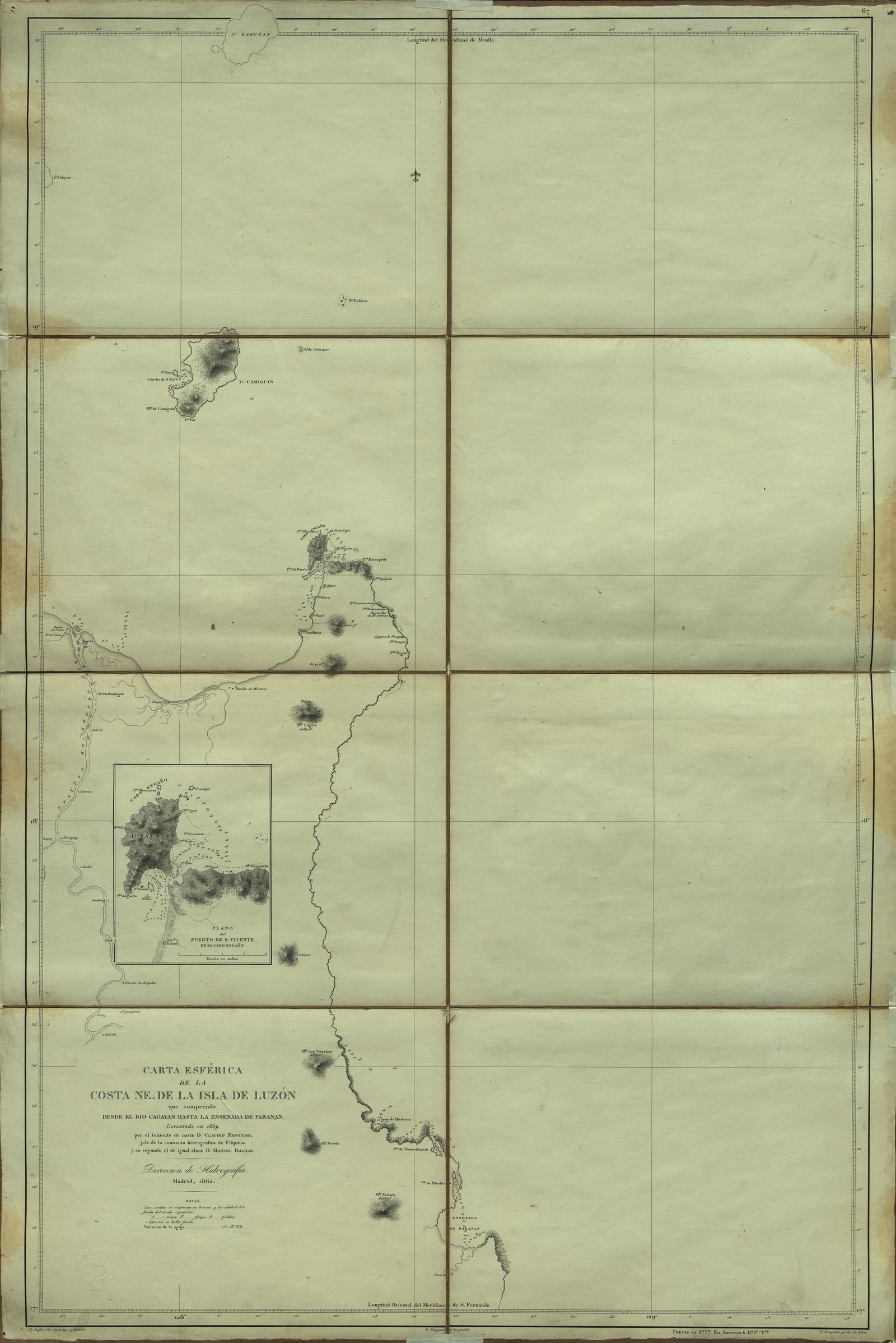
Luzon
Carta Esférica de la costa NE. de la Isla de Luzón que comprende desde el Río Cagayan hasta la ensenada de Paranan
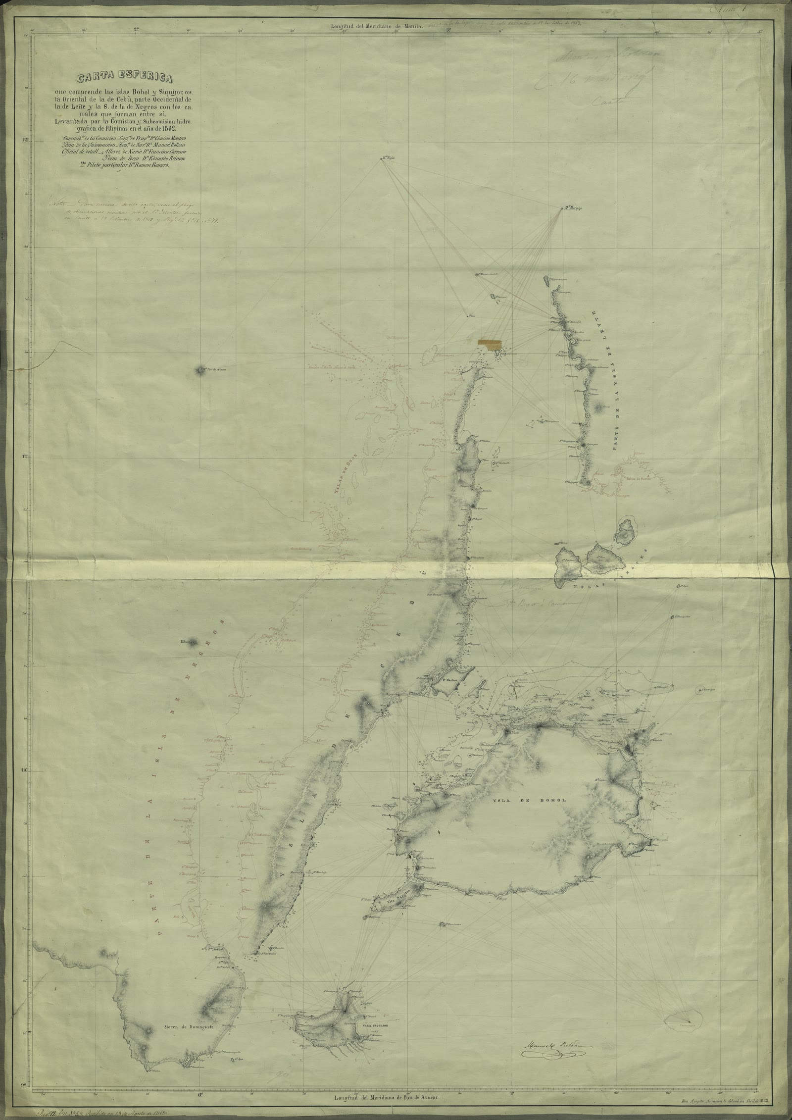
The Visayas
Carta Esférica que comprende las islas Bohol y Siquijor, costa Oriental de la de Cebú, parte Occidental de la de Leite y la S. de la de Negros con los canales que forman entre sí
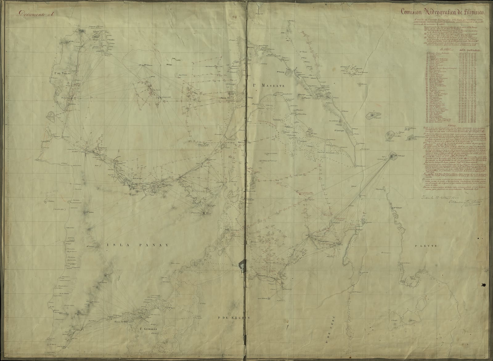
The Visayas
Parte Central del Archipiélago Filipino (Norte de Panay, Cebú y Negros, con las islas de Tablas y Masbate)
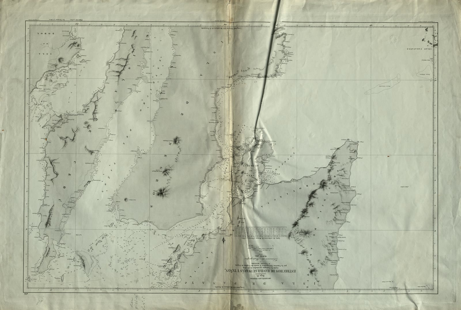
The Visayas
Estrechos de Ilo-ilo, Guimarás y Tañón
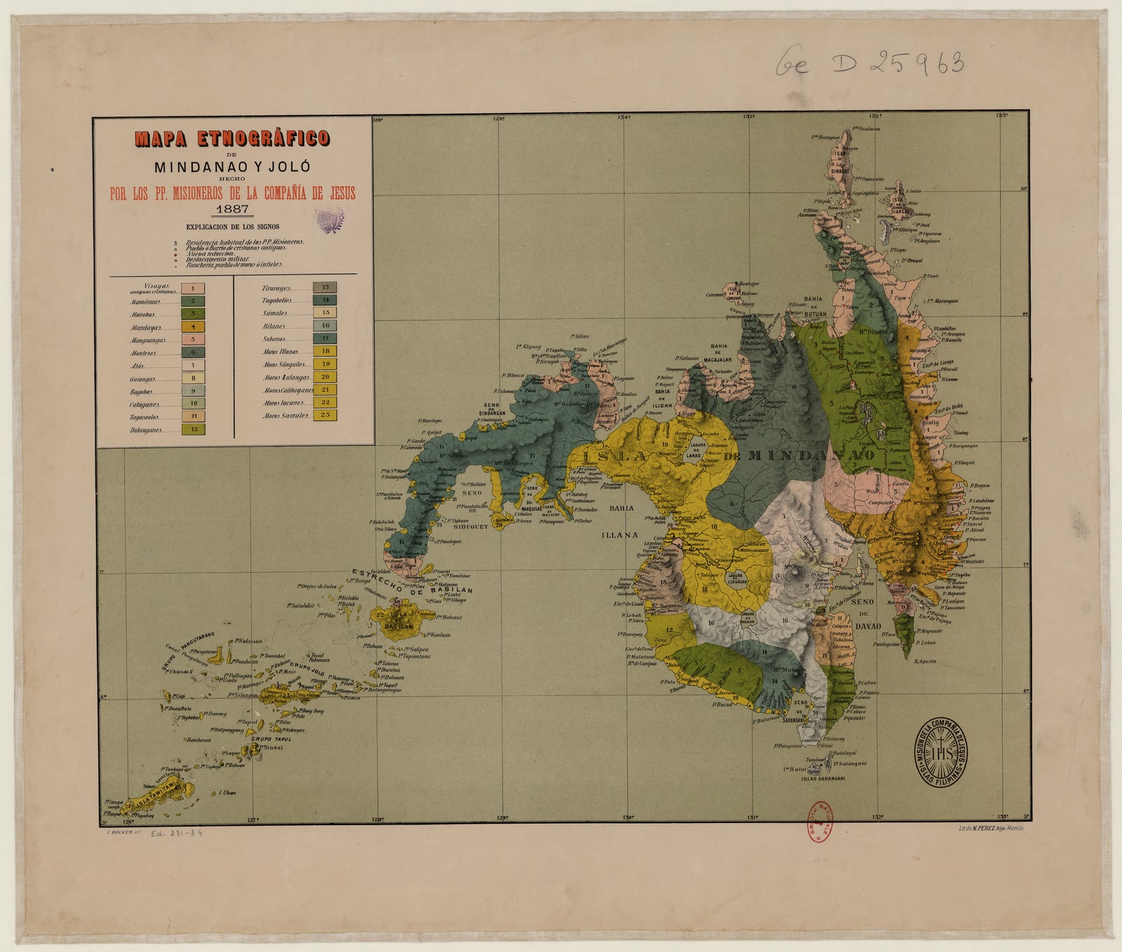
Mindanao
Mapa etnogràfico de Mindanao y Jolo / por los PP. Misioneros de la Compania de Jesus
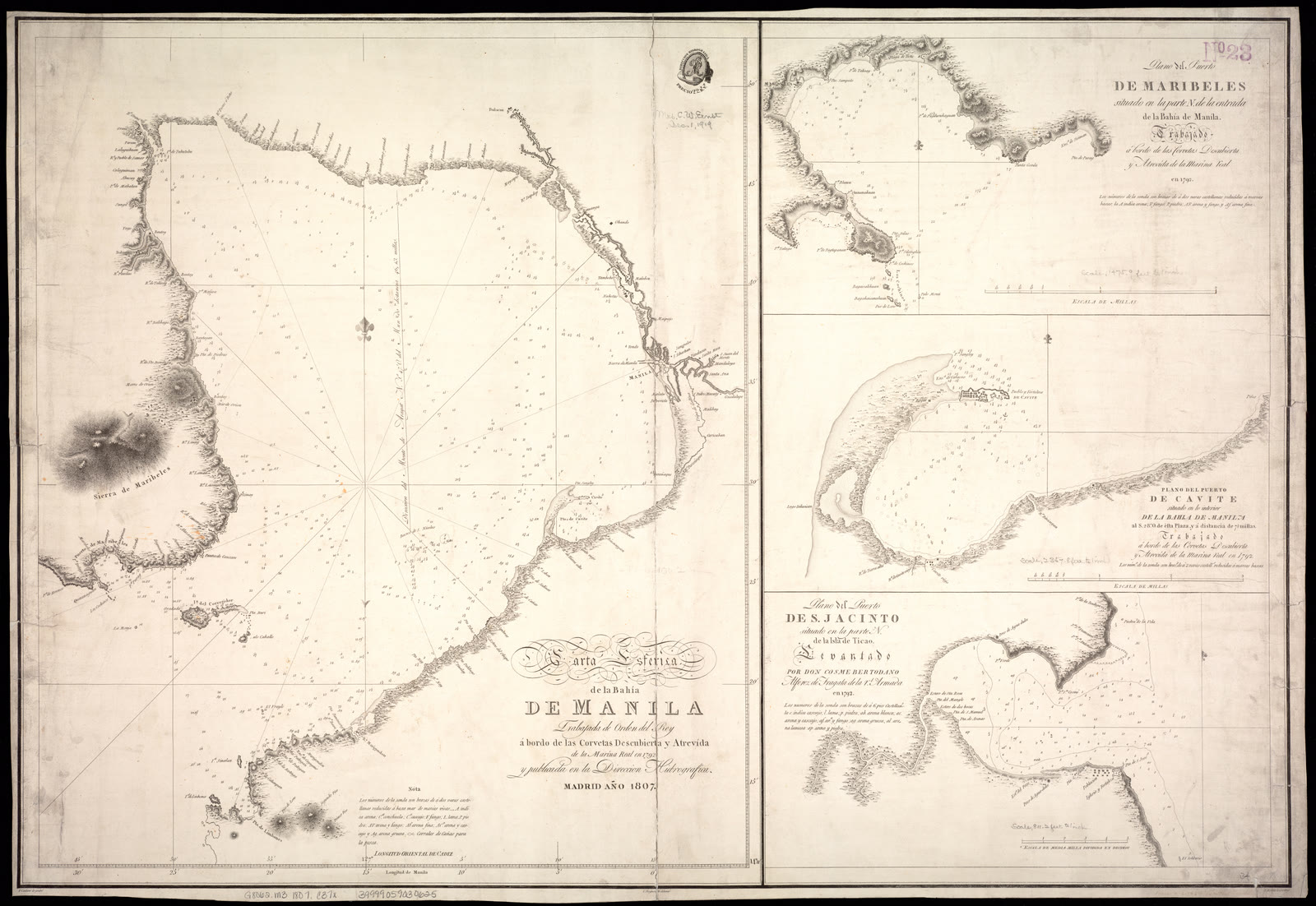
Metro Manila
Carta esférica de la bahía de Manila trabajada de orden del Rey á borda de las corvetas descubierta y atrevída de la Marína Real en 1792 y publicada en la Direccion Hidrografia
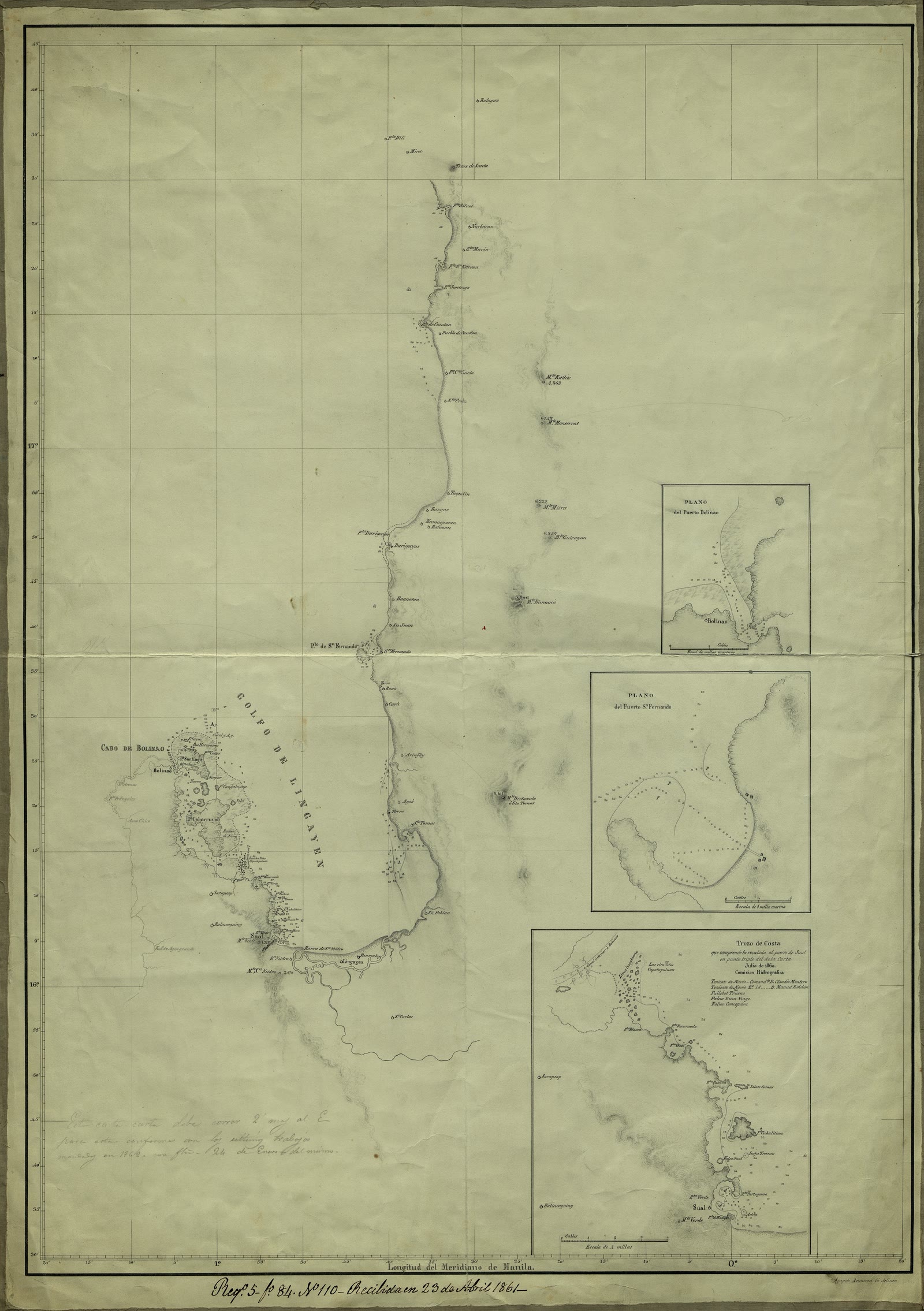
Ilocos Region
Golfo de Lingayen
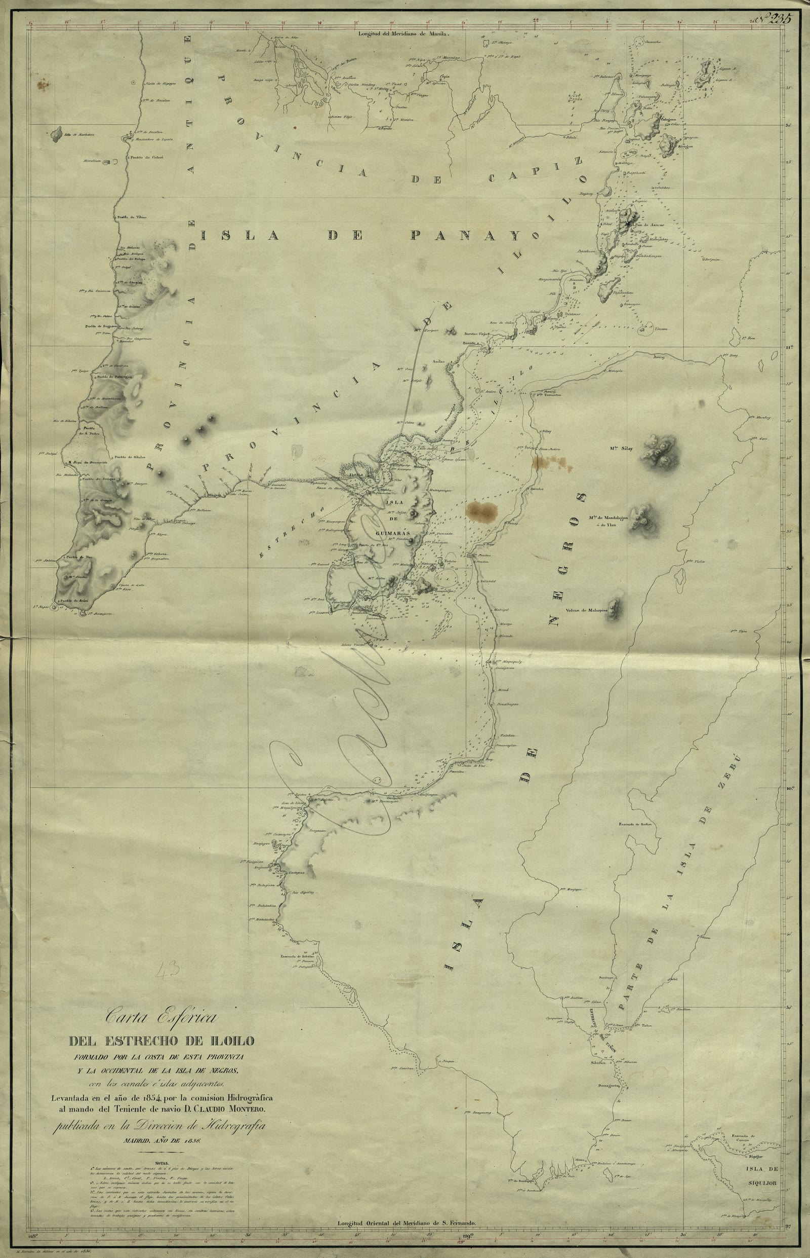
Negros Island Region
Carta esférica del Estrecho de Iloilo formado por la costa de esta provincia y la occidental de la isla de Negros con los canales é islas adyacentes
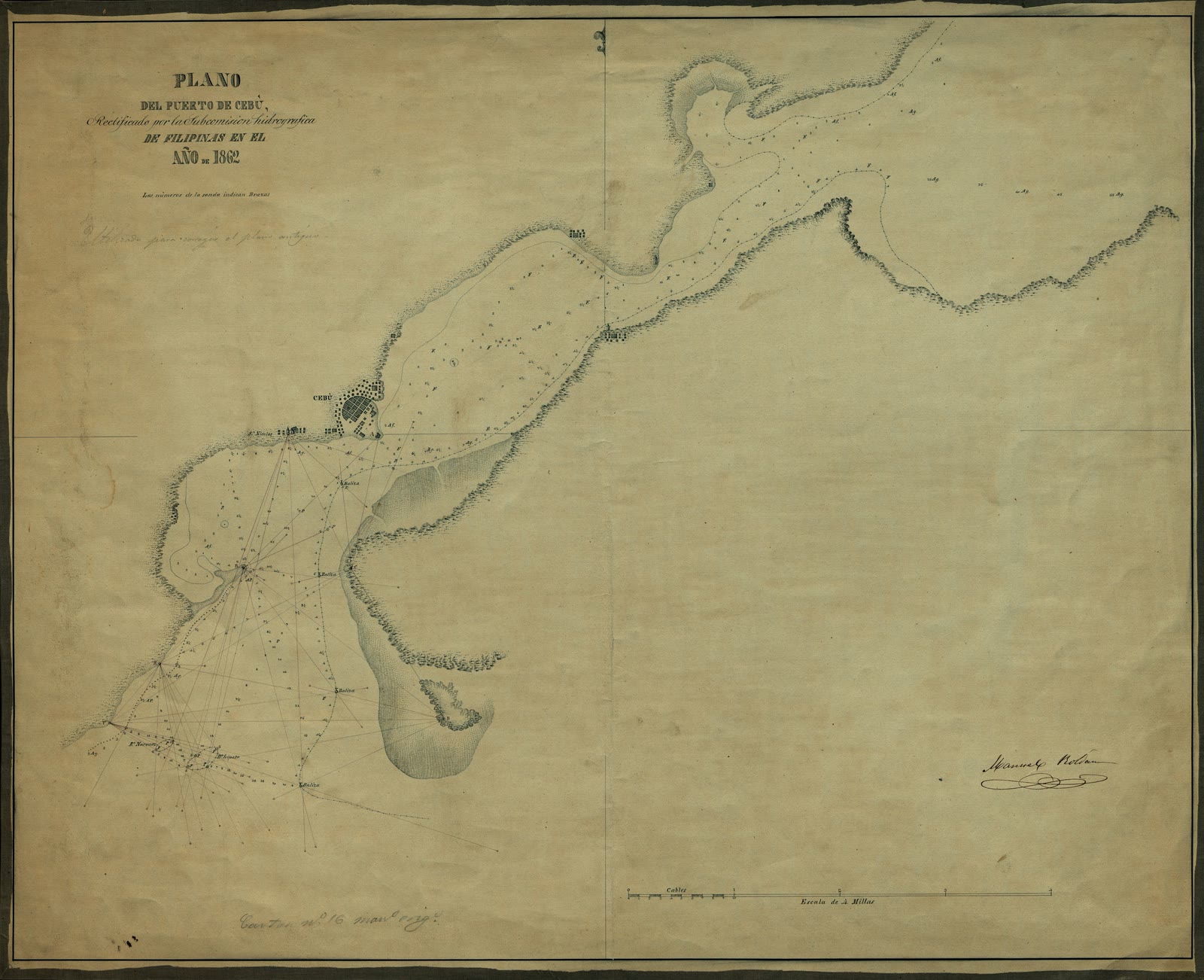
Central Visayas
Plano del Puerto de Cebú
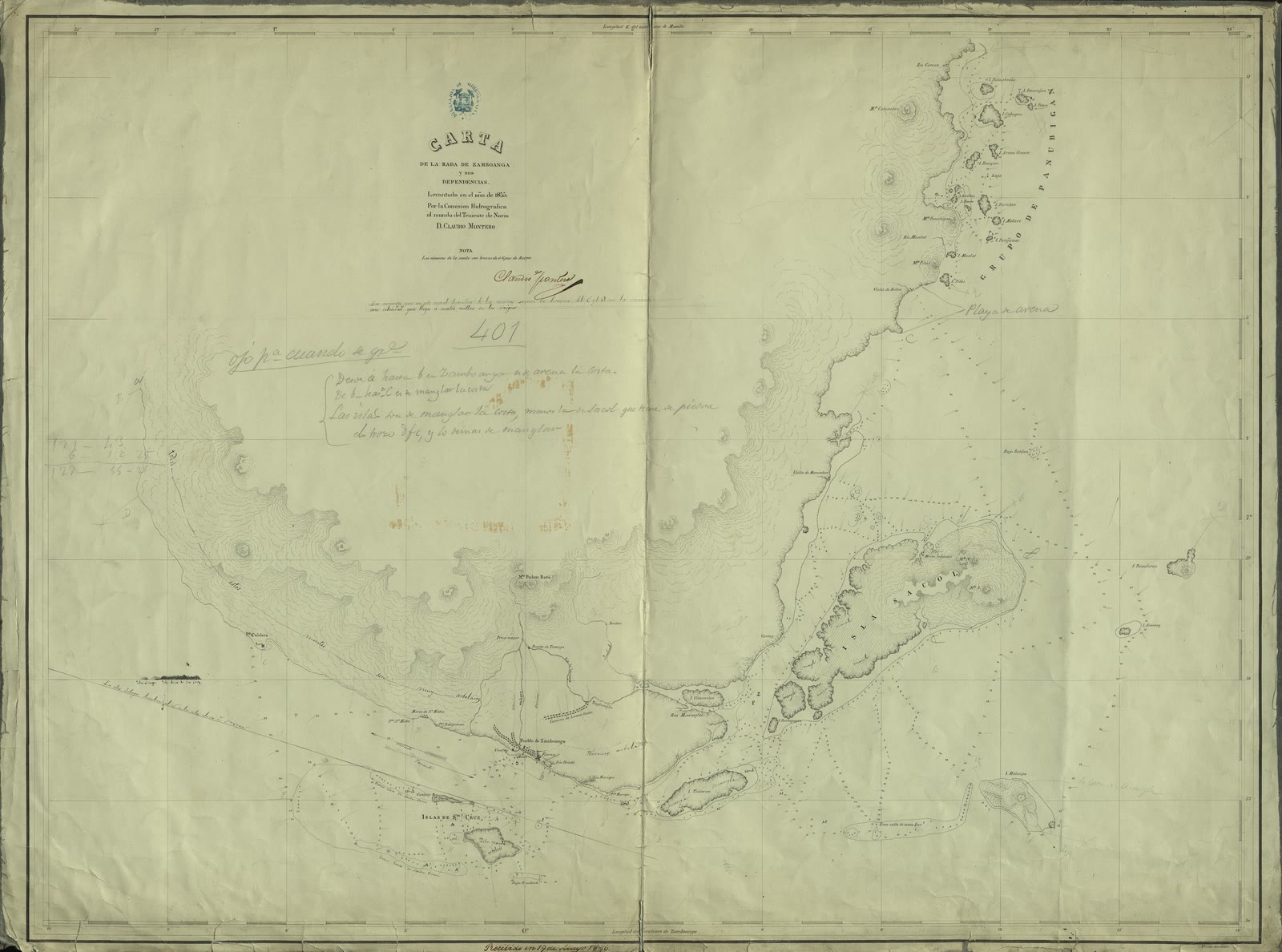
Zamboanga Peninsula
Carta de la rada de Zamboanga y sus dependencias
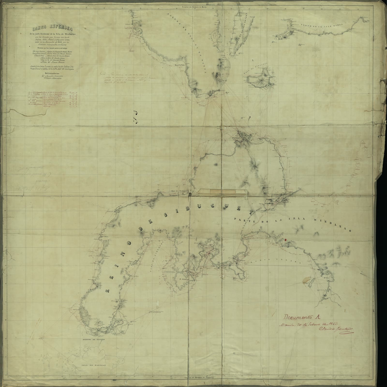
Zamboanga Peninsula
Cartas Esférica de la parte Occidental de la Ysla de Mindanao con los Canales que forman con las de Negros, Cebú, Bohol y Siquijor
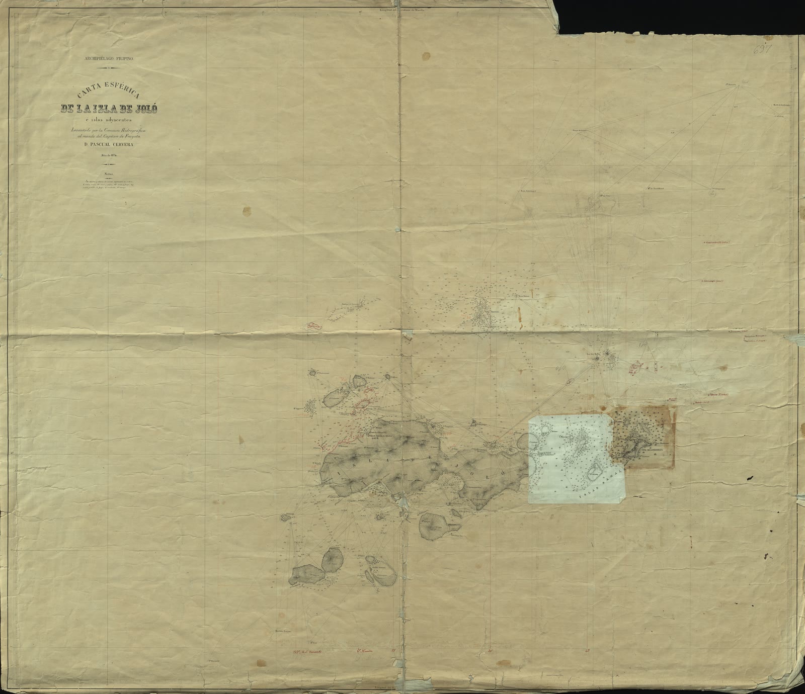
Zamboanga Peninsula
Carta esférica de la Isla de Joló e islas adyacentes
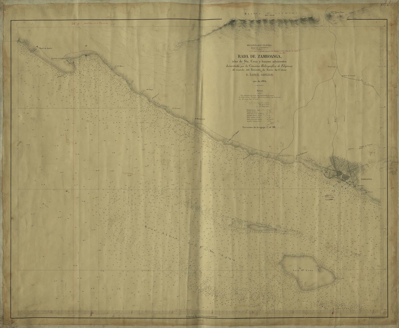
Zamboanga Peninsula
Costa que comprende desde el río Mariquí hasta el pueblo de ayola, con la rada de Zamboanga, islas de sta. Cruz y bancos adyacentes
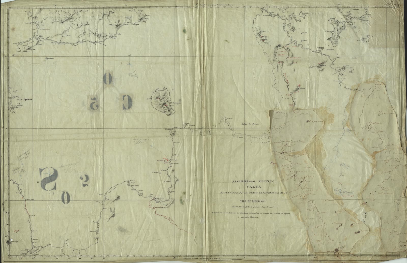
Northern Mindanao
Carta de una parte de la Costa Septentrional de la Isla de Mindanao (desde punta Polo a punta Canit)
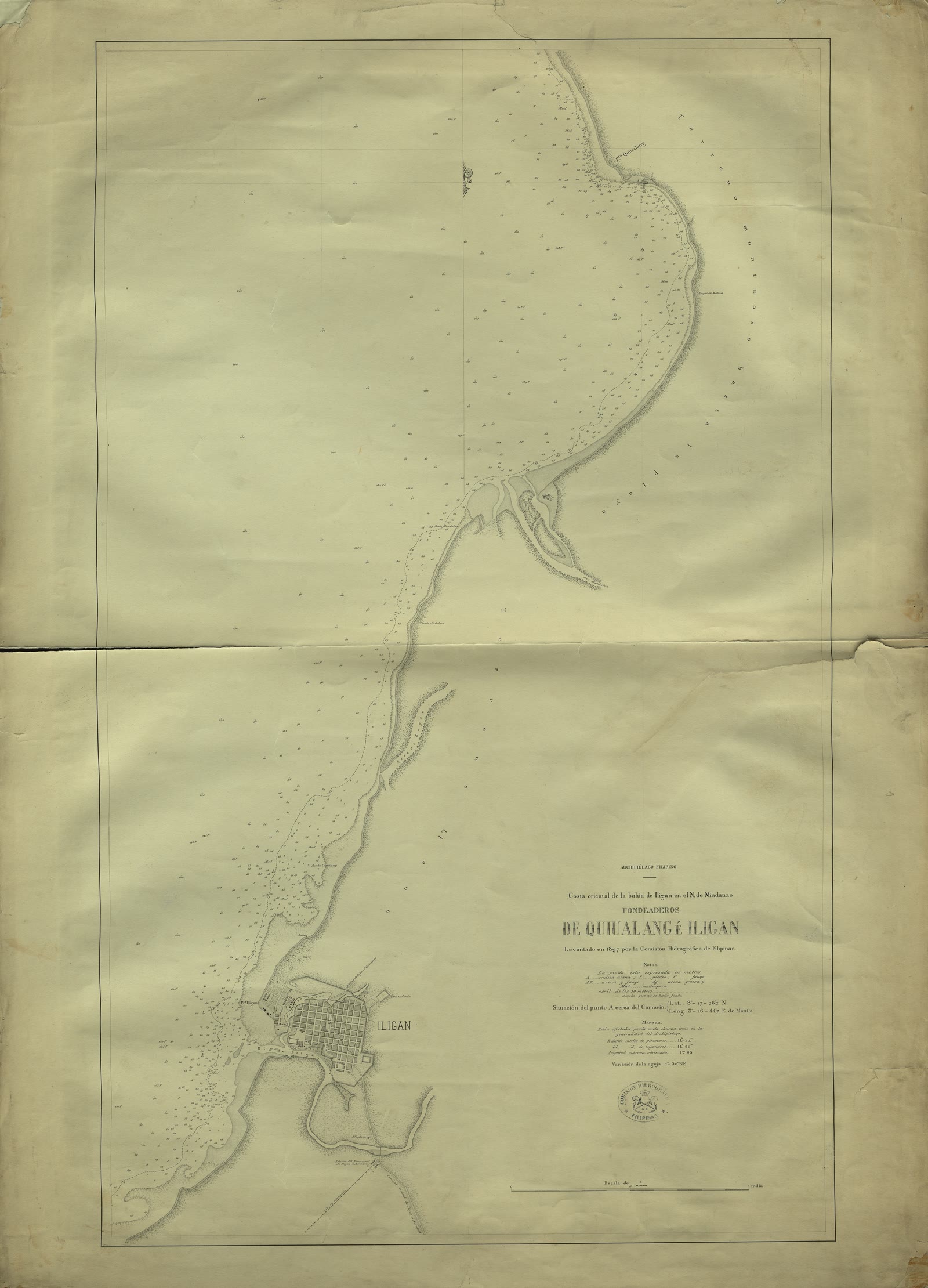
Northern Mindanao
Carta oriental de la bahía de Iligan en el N. de Mindanao, archipiélago filipino. Fondeaderos de Quinalang e Iligan
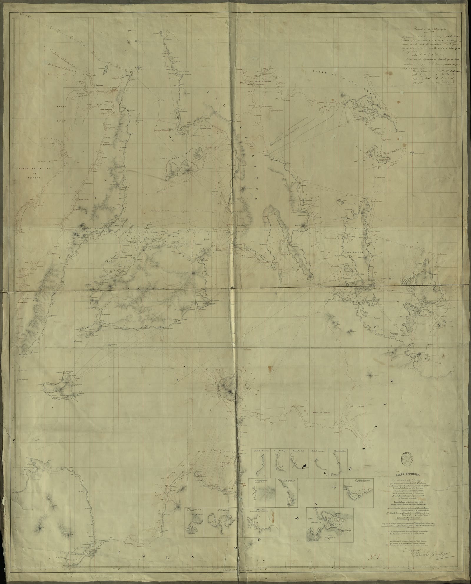
Caraga
Carta esferica del estrecho de Surigao que comprende la costa de la isla Mindanao desde Misamis para el E. hasta
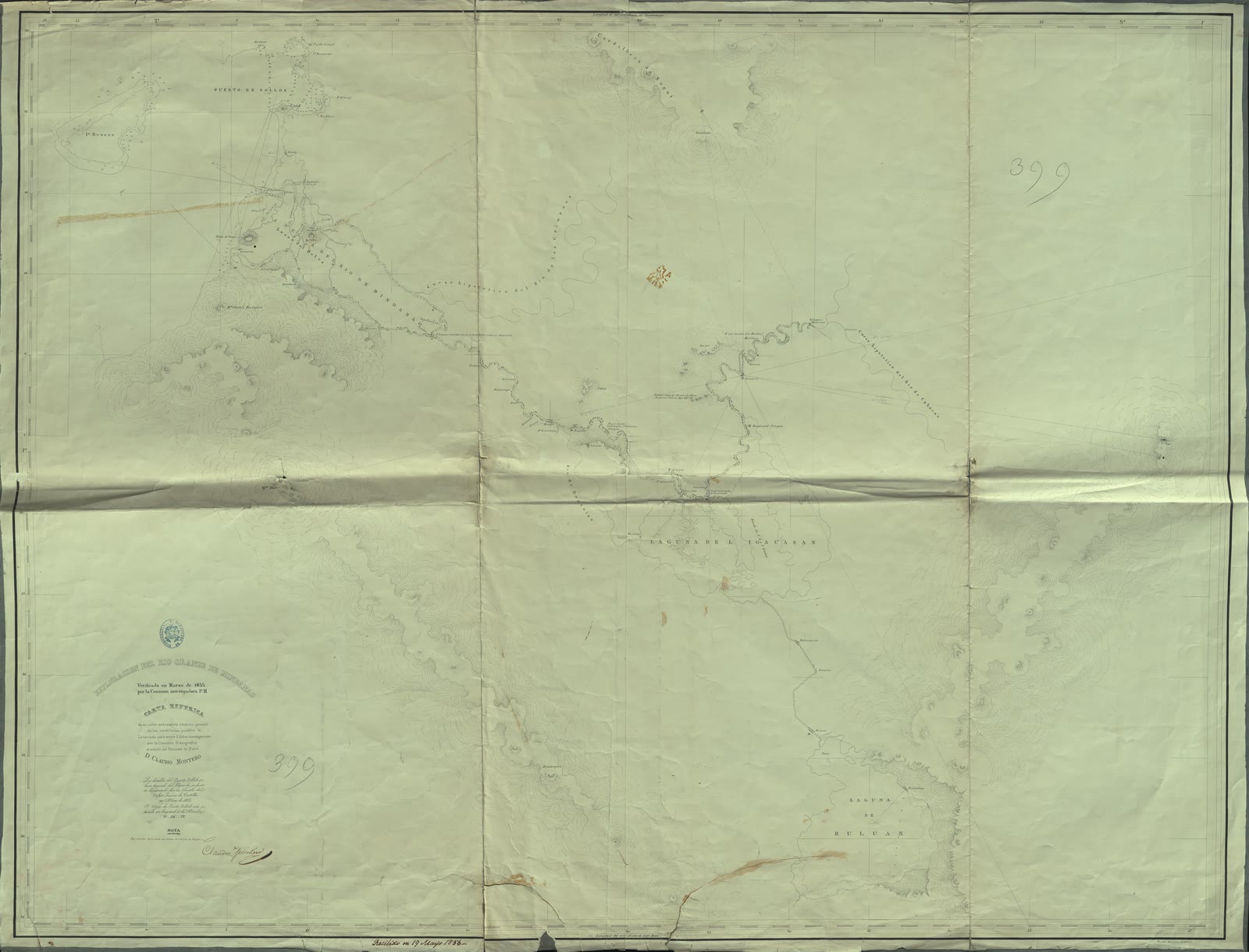
Bangsamoro (BARMM)
Esploración del Río Grande de Mindanao verificada en Marzo de 1855 por la Comisión investigadora P.M. Carta Esférica de su curso, embocadura situación general de las cordilleras, pueblos &
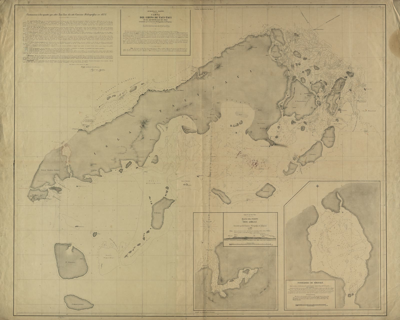
Bangsamoro (BARMM)
Carta del Grupo de Tavi - Tavi en el Archipiélago de Joló
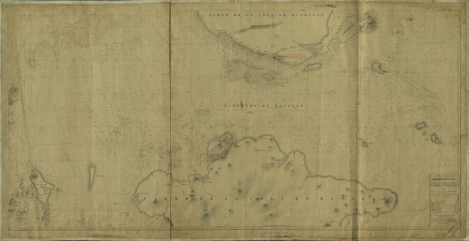
Bangsamoro (BARMM)
Carta particular del Estrecho de Basilan
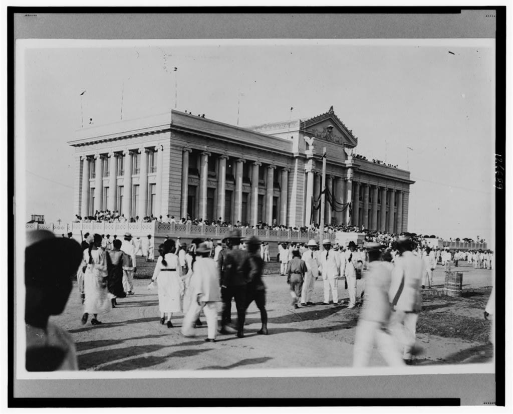
Pangasinan
Capitol at Lingayen, Pangasinan, Philippine Islands LCCN00651229


Sources
Page updated October 9, 2026. Archive catalog release e205c7180a5b.
Who holds the pictures on this page, and their rights. Each picture's own page names its record.
- 1.National Library Board Singapore, David Parry Southeast Asian Map Collection. 4 pictures. No rights reserved (CC0).
- 2.Boston Public Library, Norman B. Leventhal Map & Education Center Collection. 3 pictures. No known restrictions.
- 3.Bibliothèque nationale de France, département Cartes et plans, Collection d'Anville. 2 pictures. Public domain.
- 4.Archivo Histórico de la Armada Juan Sebastián de Elcano / Biblioteca Virtual de Defensa (Ministerio de Defensa, Spain). 19 pictures. Creative Commons Attribution.
- 5.Bibliothèque nationale de France, département Cartes et plans. 4 pictures. Public domain.
- 6.Library of Congress. 1 picture. Public domain.
Every holder, licence and author in the Archive: Data and credits.
See something wrong on this page? Write to hello@scene.ph with the page address. We check every report against the source.