Sea chart · 1863 · Northern Mindanao
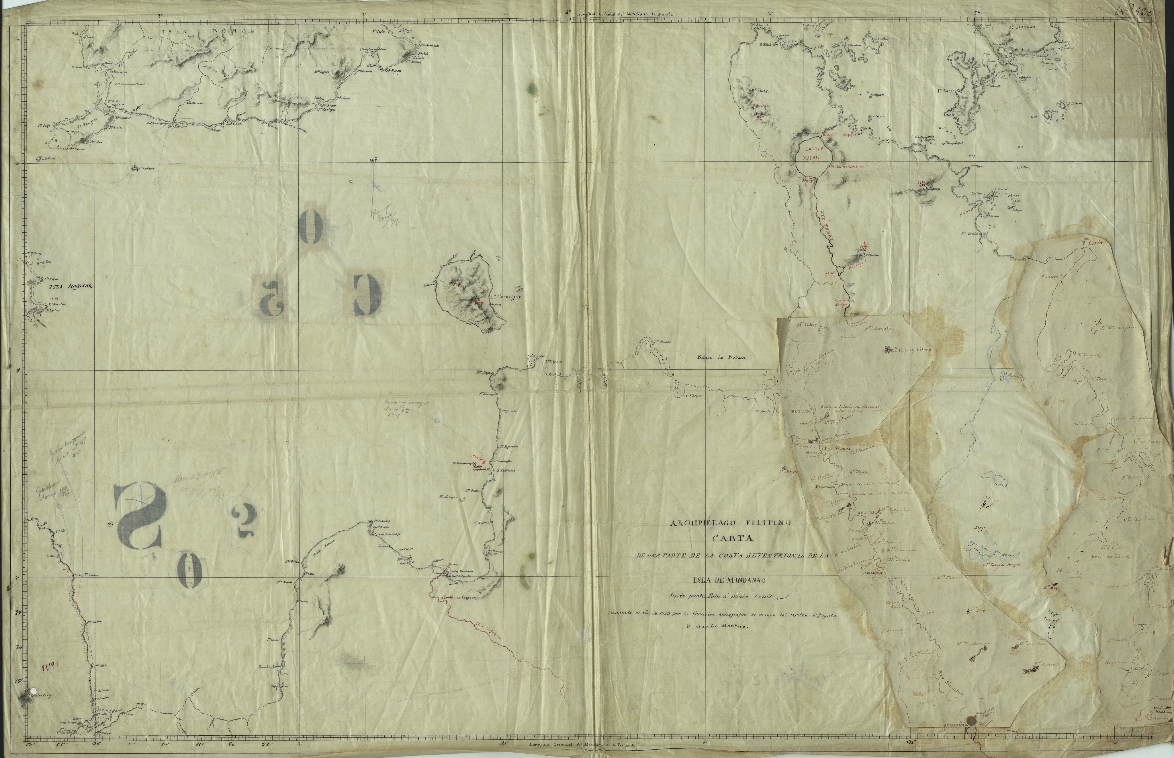
Carta de una parte de la Costa Septentrional de la Isla de Mindanao (desde punta Polo a punta Canit)

Open a larger copyThe full scan is on its record at the Biblioteca Virtual de Defensa.
Its record
- Kind
- Sea chart
- Made by
- Comisión Hidrográfica de Filipinas (under Capitán de Fragata Claudio Montero)
- Date
- 1863 · The institution's record
- Held by
- Archivo Histórico de la Armada Juan Sebastián de Elcano / Biblioteca Virtual de Defensa (Ministerio de Defensa, Spain)
- Catalogue number
- Biblioteca Virtual de Defensa record id 49064
- Rights
- Creative Commons Attribution
- Credit
- Comisión Hidrográfica de Filipinas (under Capitán de Fragata Claudio Montero), Archivo Histórico de la Armada Juan Sebastián de Elcano / Biblioteca Virtual de Defensa (Ministerio de Defensa, Spain)
- Named in it
- Costa Septentrional de la Isla de Mindanao
- Scene archive number
- region-northern-mindanao-01
- The holder's rights statement
La copia digital se distribuye bajo licencia CC BY 4.0 que permite compartir y adaptar el material siempre que se mencione la procedencia 'Fuente: Archivo Histórico de la Armada Juan Sebastián de Elcano / Biblioteca Virtual de Defensa'
The licence
The region its land is in today
Northern MindanaoHow many people live there today, its towns, its map and its history.
More of Northern Mindanao

Sources
Page updated October 9, 2026. Archive catalog release e205c7180a5b.
The record this picture is shown from: its holder, its rights, and the page where the full scan is kept.
- 1.Archivo Histórico de la Armada Juan Sebastián de Elcano / Biblioteca Virtual de Defensa (Ministerio de Defensa, Spain). Creative Commons Attribution. Open the source
Every holder, licence and author in the Archive: Data and credits.
See something wrong on this page? Write to hello@scene.ph with the page address. We check every report against the source.