Old maps of the land now in Northern Mindanao
2 maps, made 1863 to 1897, from the Spanish era. Each with the archive that holds it, its date and its rights.
Northern Mindanao in the Atlas today
Pictures, oldest first
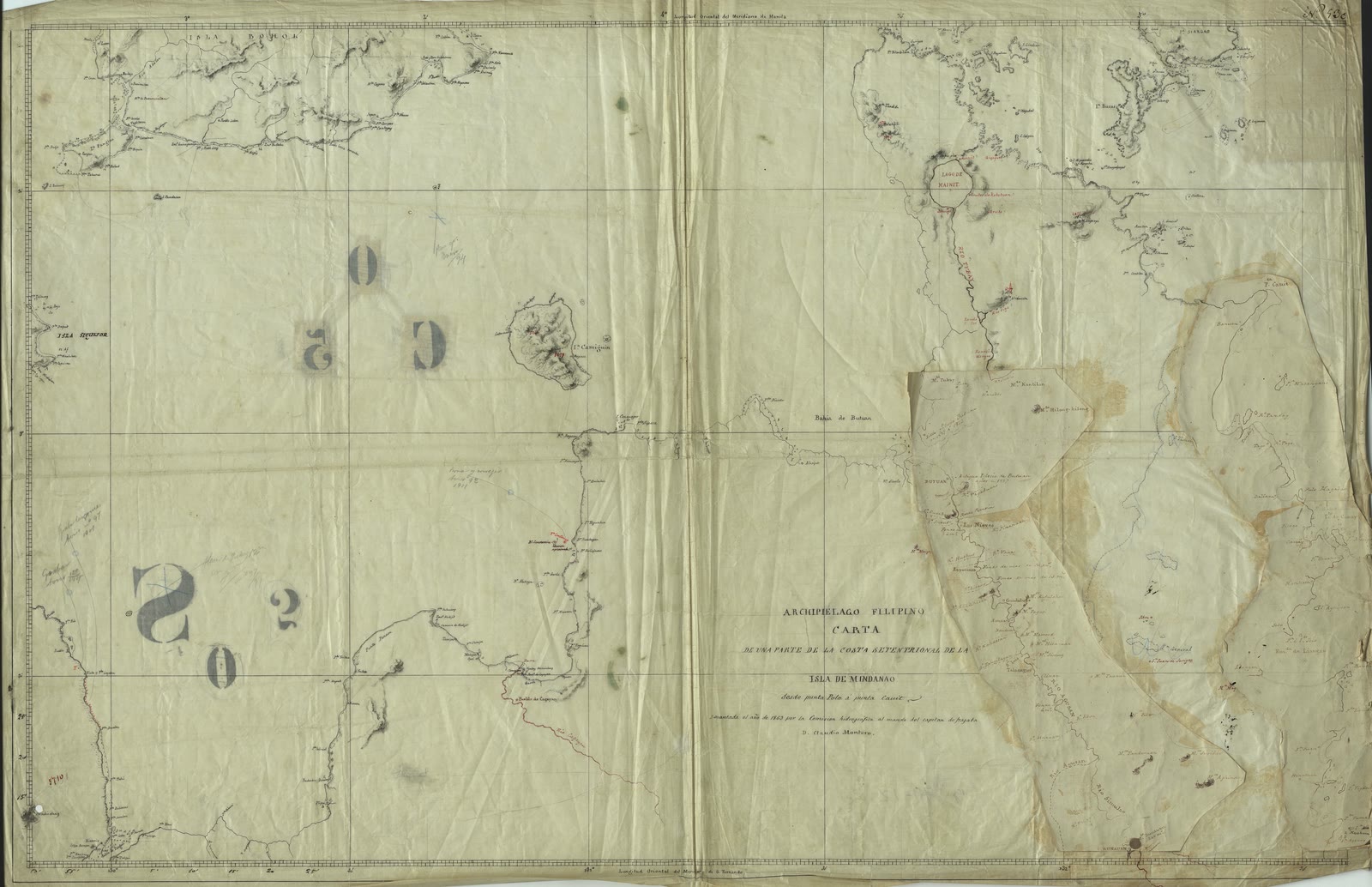
Carta de una parte de la Costa Septentrional de la Isla de Mindanao (desde punta Polo a punta Canit)
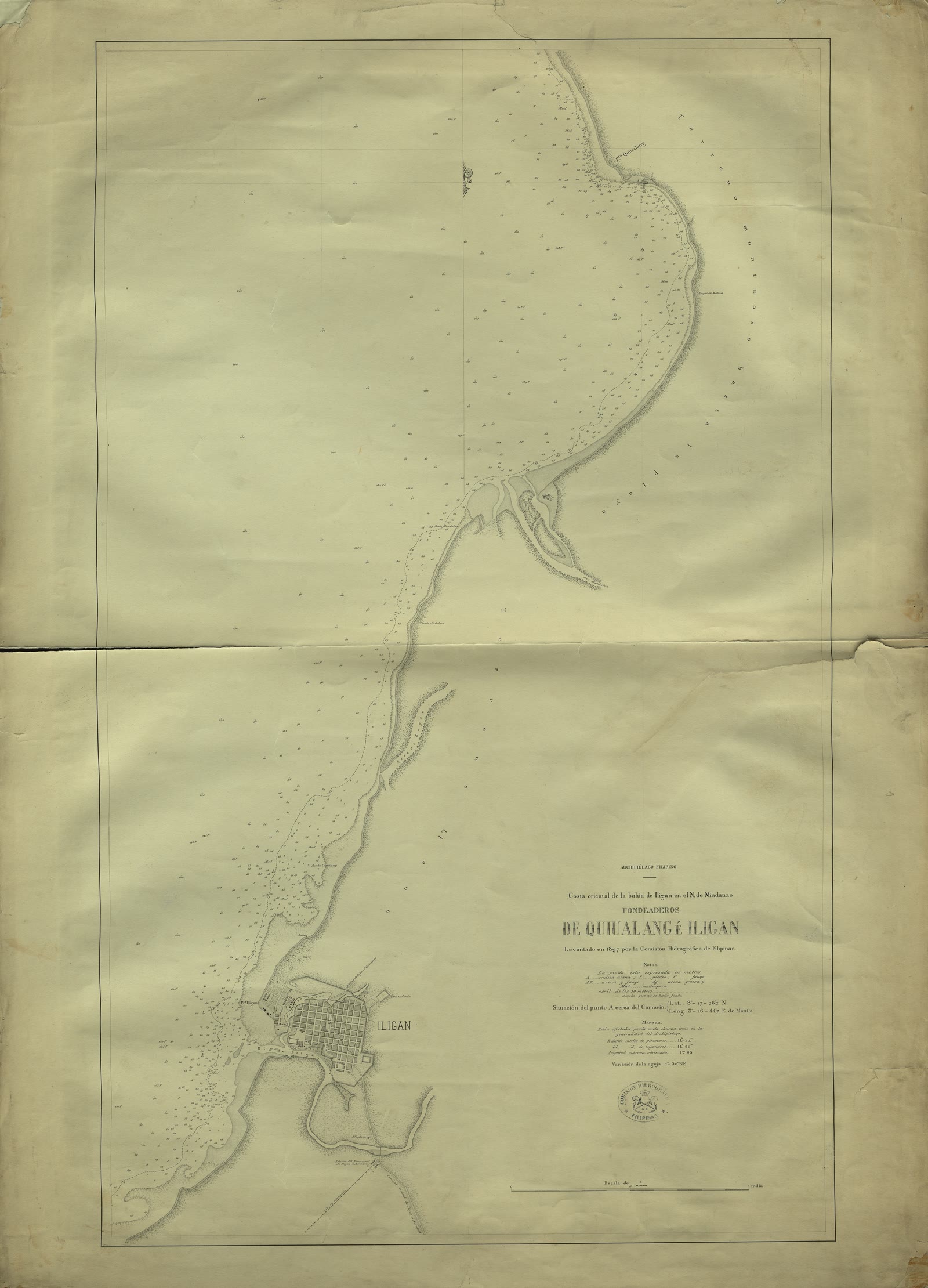
Carta oriental de la bahía de Iligan en el N. de Mindanao, archipiélago filipino. Fondeaderos de Quinalang e Iligan


Sources
Page updated October 9, 2026. Archive catalog release e205c7180a5b.
Who holds the pictures on this page, and their rights. Each picture's own page names its record.
- 1.Archivo Histórico de la Armada Juan Sebastián de Elcano / Biblioteca Virtual de Defensa (Ministerio de Defensa, Spain). 2 pictures. Creative Commons Attribution.
Every holder, licence and author in the Archive: Data and credits.
See something wrong on this page? Write to hello@scene.ph with the page address. We check every report against the source.