Ways into every place
- AtlasKnow the placeOfficial figures, maps and history for every region, province, city, town and barangay, each with its source.
- StoriesHear the storiesShort films of the Philippines and its places, each with its whole story written out.
- ArchiveRemember the placeOld photographs with a known source, beside the same place today.
- NowWhat is on thereFiestas, advisories and openings, place by place, each with its dates.
112.7million
Filipinos, 2024 census
- 18Regions
- 82Provinces
- 149Cities
- 1,493Municipalities
- 42,010Barangays
Three island groups
The country is grouped into Luzon, the Visayas and Mindanao. Start with one.
The stories behind the places
StoriesShort films of how the country, its island groups and its 18 regions got their names and their shape. Every line is from the record, and a legend is called a legend.
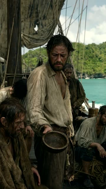
The Philippines
The Philippines got its name from a starving fleet
In 1543 a hungry Spanish fleet named a few islands after a sixteen-year-old prince. Months earlier it had named Mindanao after his father. Only the son's name stayed.
Why It's Called That
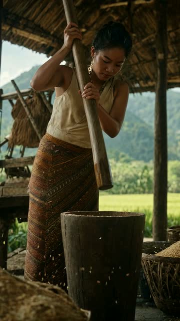
Luzon
Is Luzon named after a rice mortar?
They say Luzon is named after the lusong, the wooden mortar for pounding rice. The oldest records, from Ming China to Pigafetta's word list, leave a strange clue, but no record of a naming.
Why It's Called That

The Visayas
Spain called the Visayans the painted ones
Before they were called Visayans, Spain called them Pintados, for tattoos earned by bravery. Where the word Bisaya comes from, nobody knows for sure; a Bornean legend has its own answer.
Why It's Called That
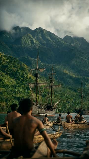
Mindanao
Before it was Mindanao, it had at least three other names
Cesarea Karoli, the Filipina Island, Bindanao: Europeans tried several names before the local one won. Magindanao, Saleeby wrote in 1905, is the place that floods.
Why It's Called That


Everything belongs to a place and names its source
Scene reads official records and published sources, and shows where every figure, photo and film comes from.
- 01
Official records first
People and households from the Philippine Statistics Authority's 2024 census. Places from its official list. History from laws, local government pages and published books.
- 02
A source on every number
Each figure carries a small number. Tap it to see the source it came from, and its licence. Every photo names who took it.
- 03
Pictures first, plain words
Maps, photos and films do the talking. When there are words, they are short and simple.