The war years
The Japanese occupation and the liberation, as maps and photographs recorded them. 13 pictures, 1942 to 1945.
Pictures
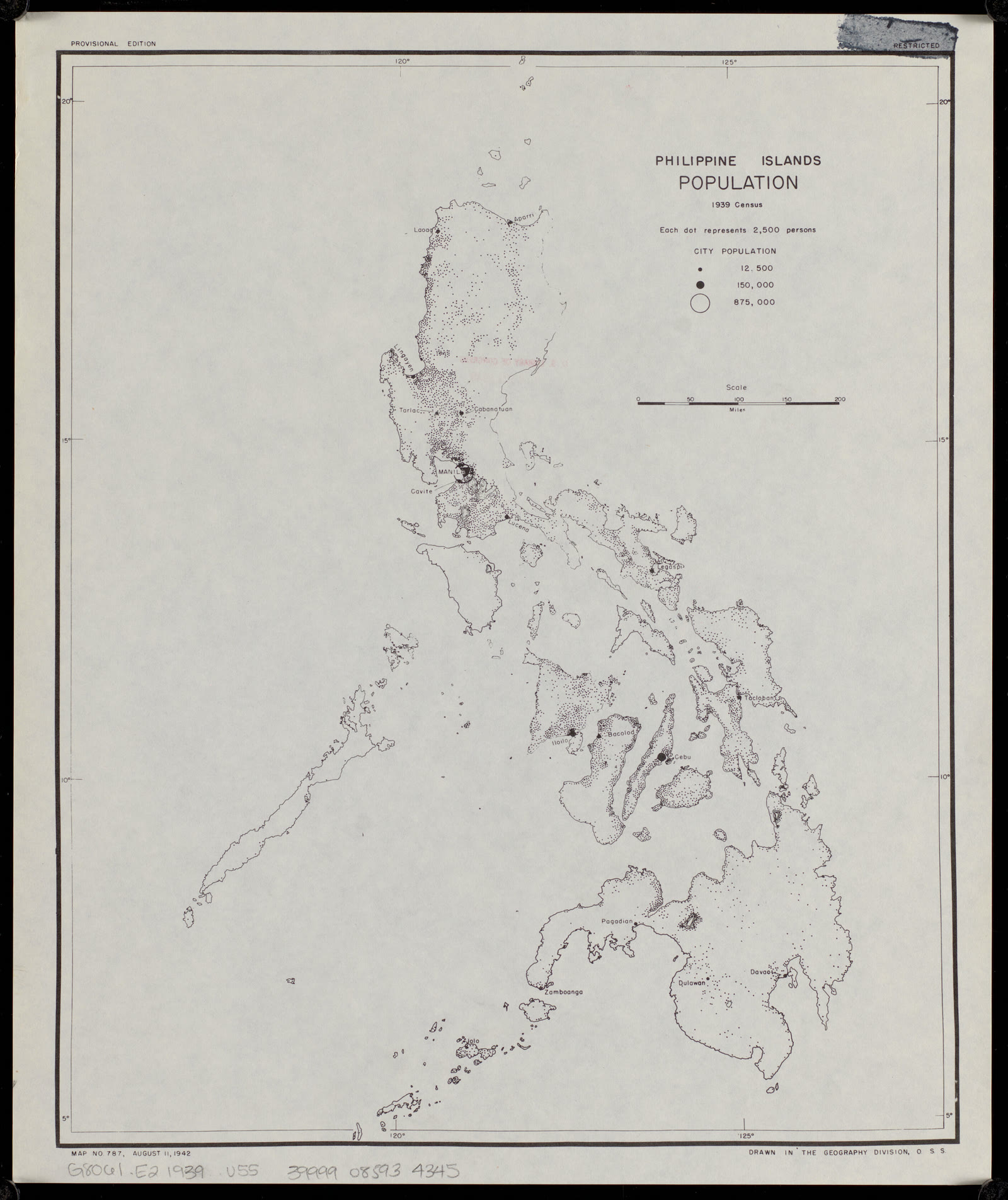
The Philippines
Philippine Islands population, 1939 census
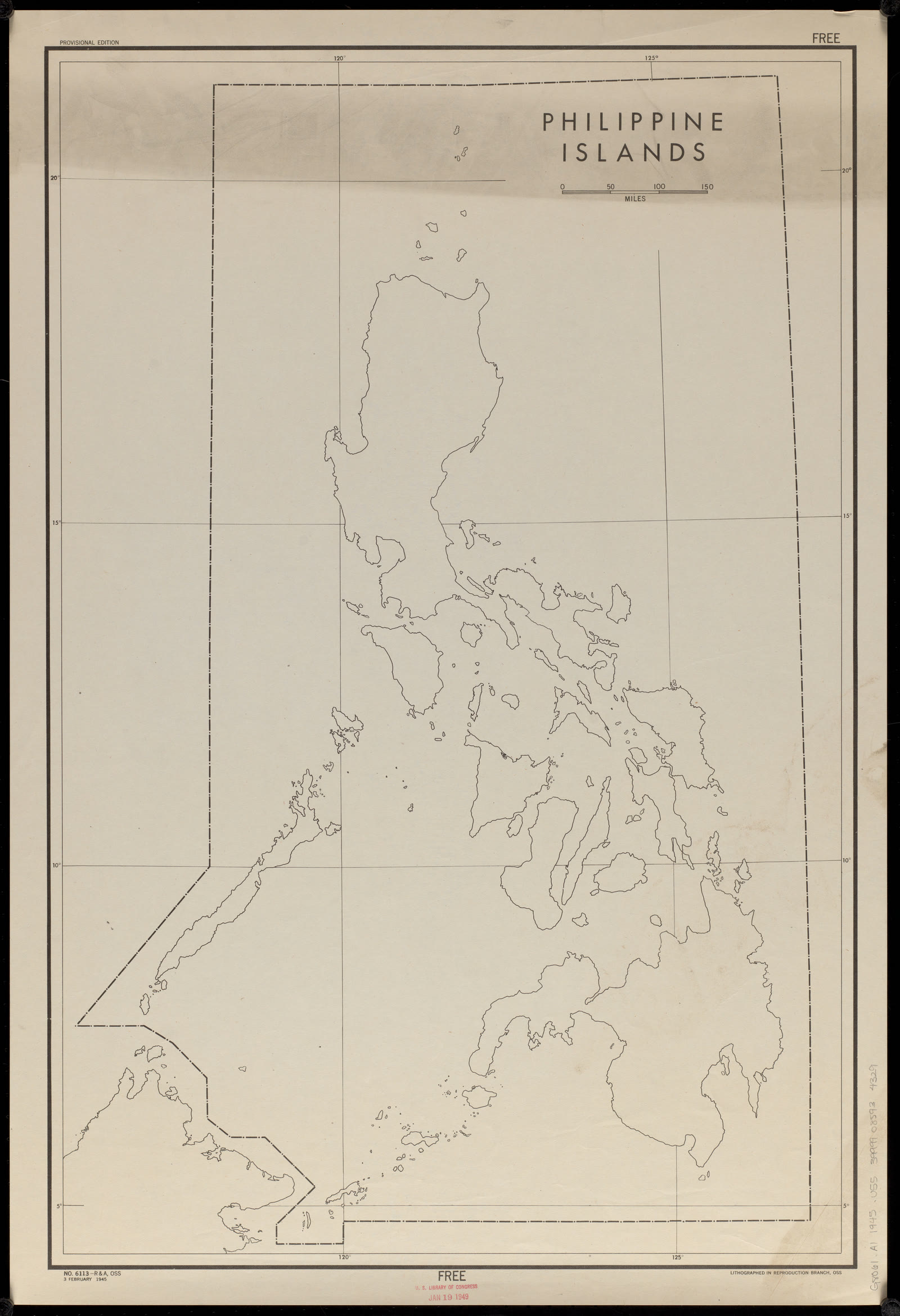
The Philippines
Philippine Islands : [outline map]
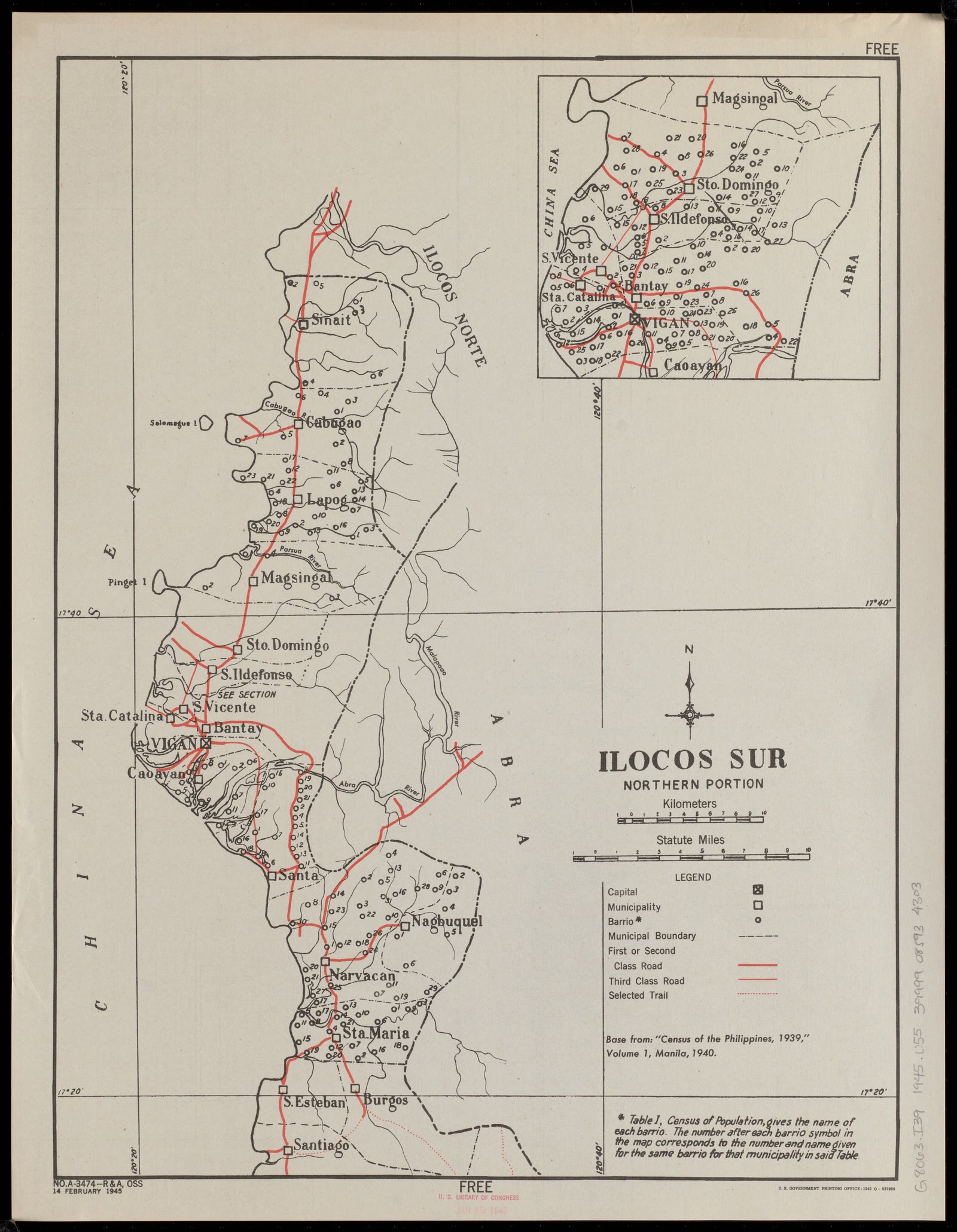
Ilocos Region
Ilocos Sur : northern portion
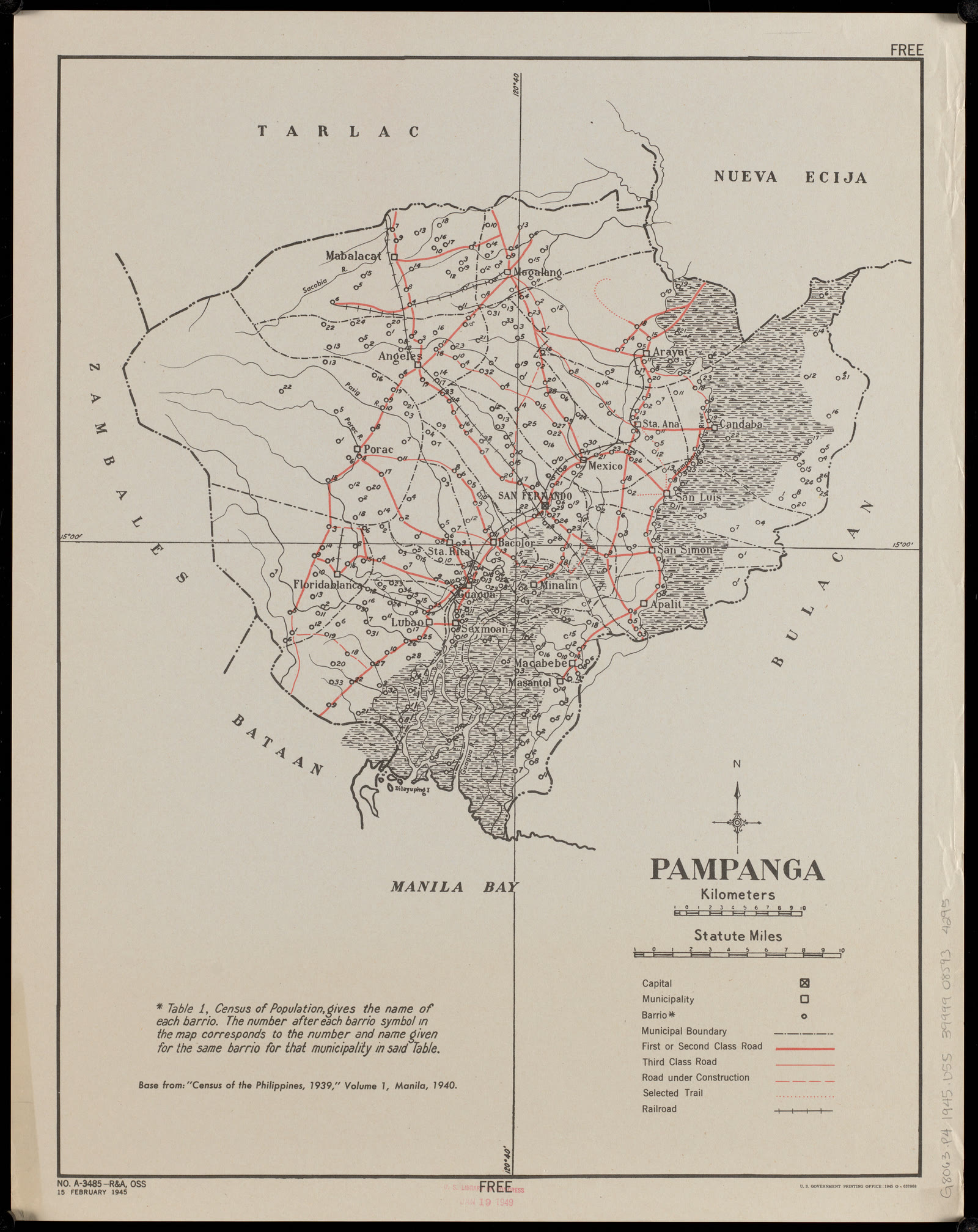
Central Luzon
Pampanga
Central Luzon
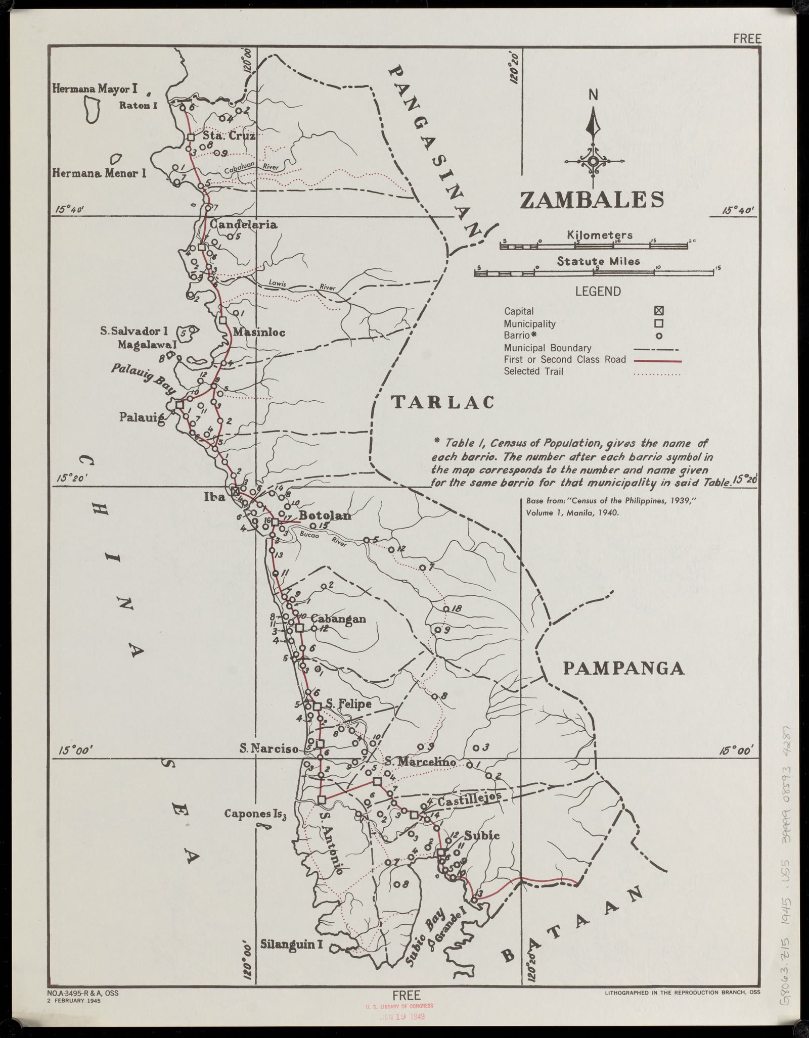
Zambales
CALABARZON
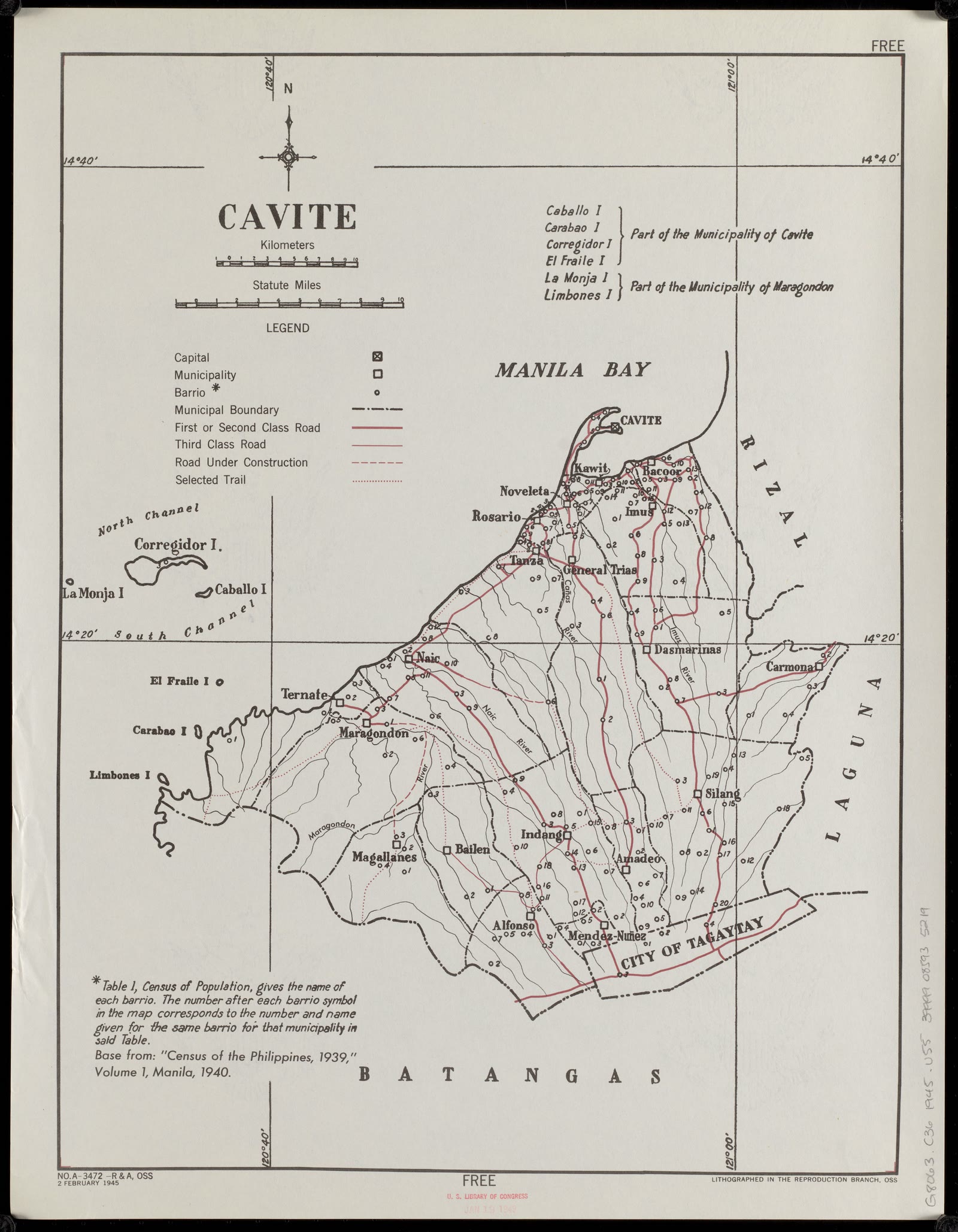
Cavite
Bicol Region
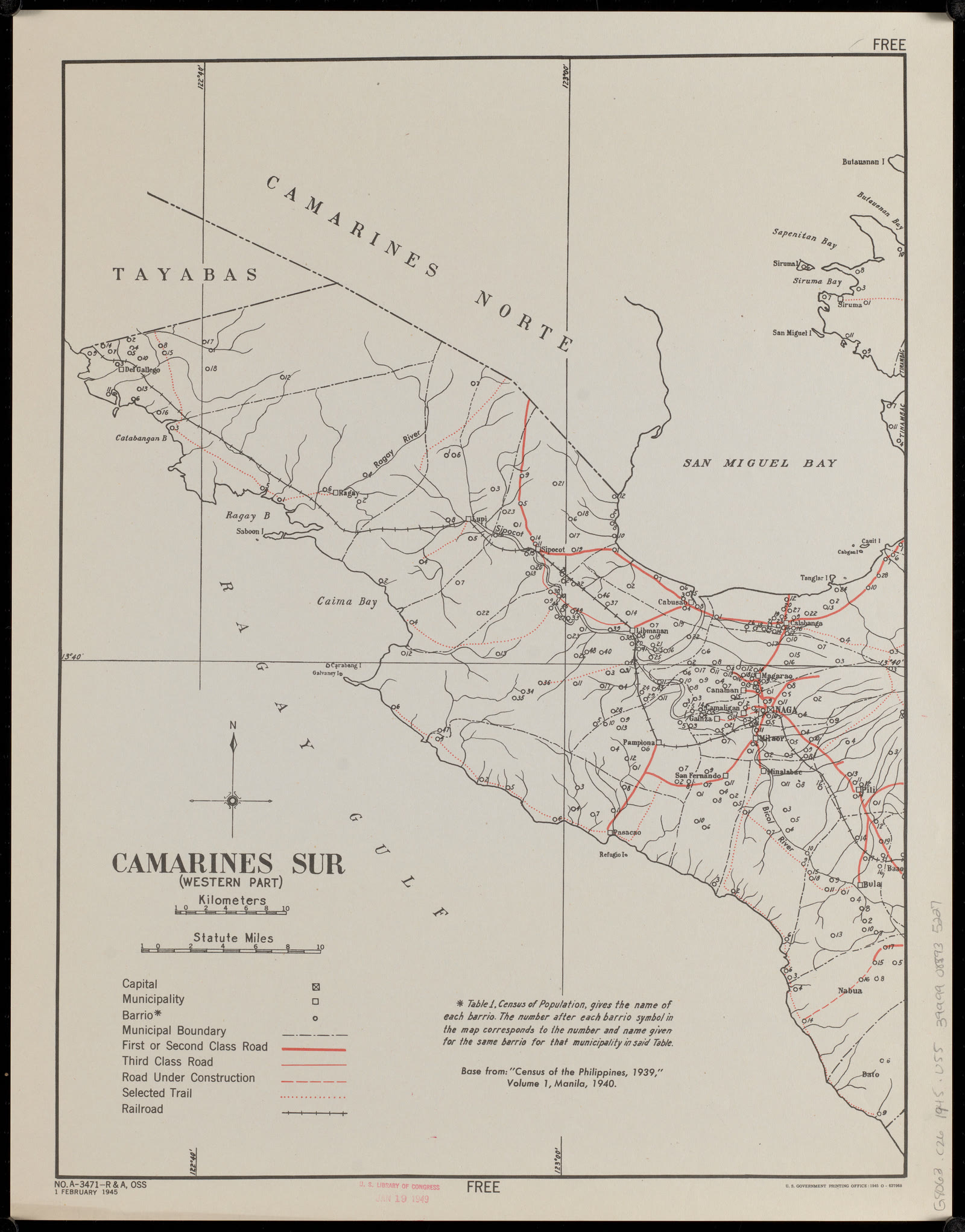
Camarines Sur : (western part)
Laguna
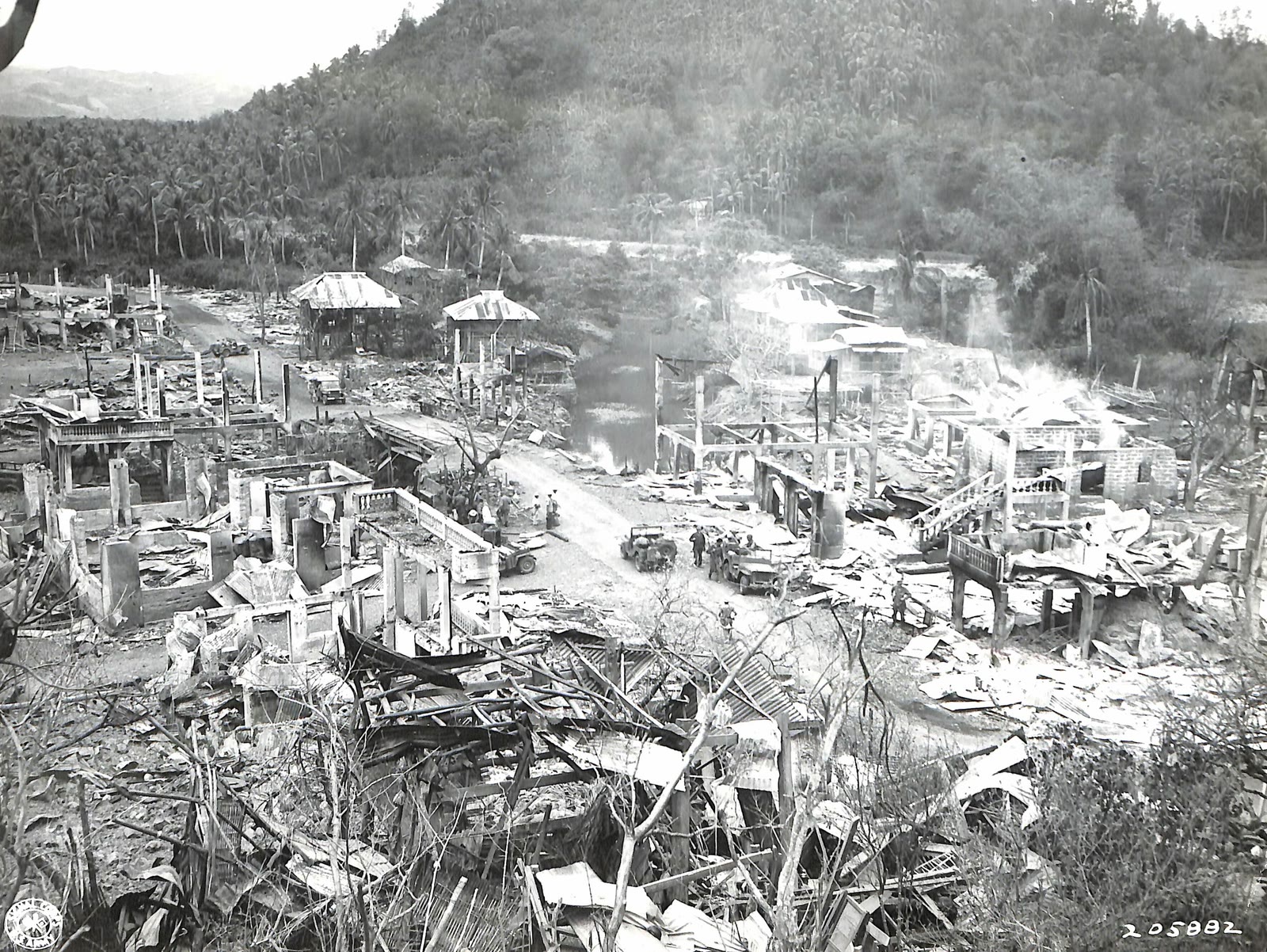
Mabitac, Laguna, WWII (1945)
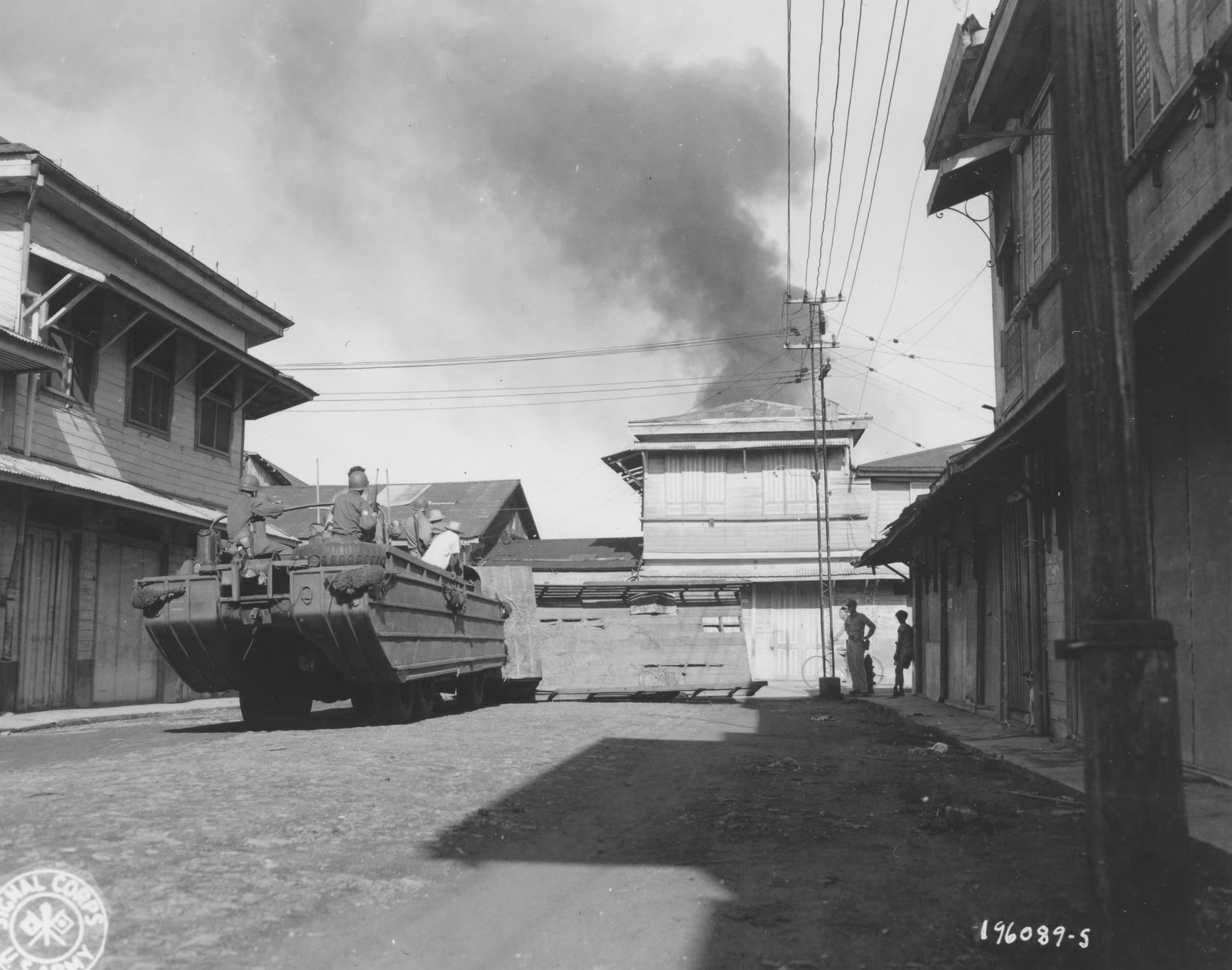
Leyte
SC 196089-S - A Jap army truck overturned in the street blocks the path of an invading duck carrying troops of a Cavalry Division during entry of Leyte Island, P.I. (51988278543)
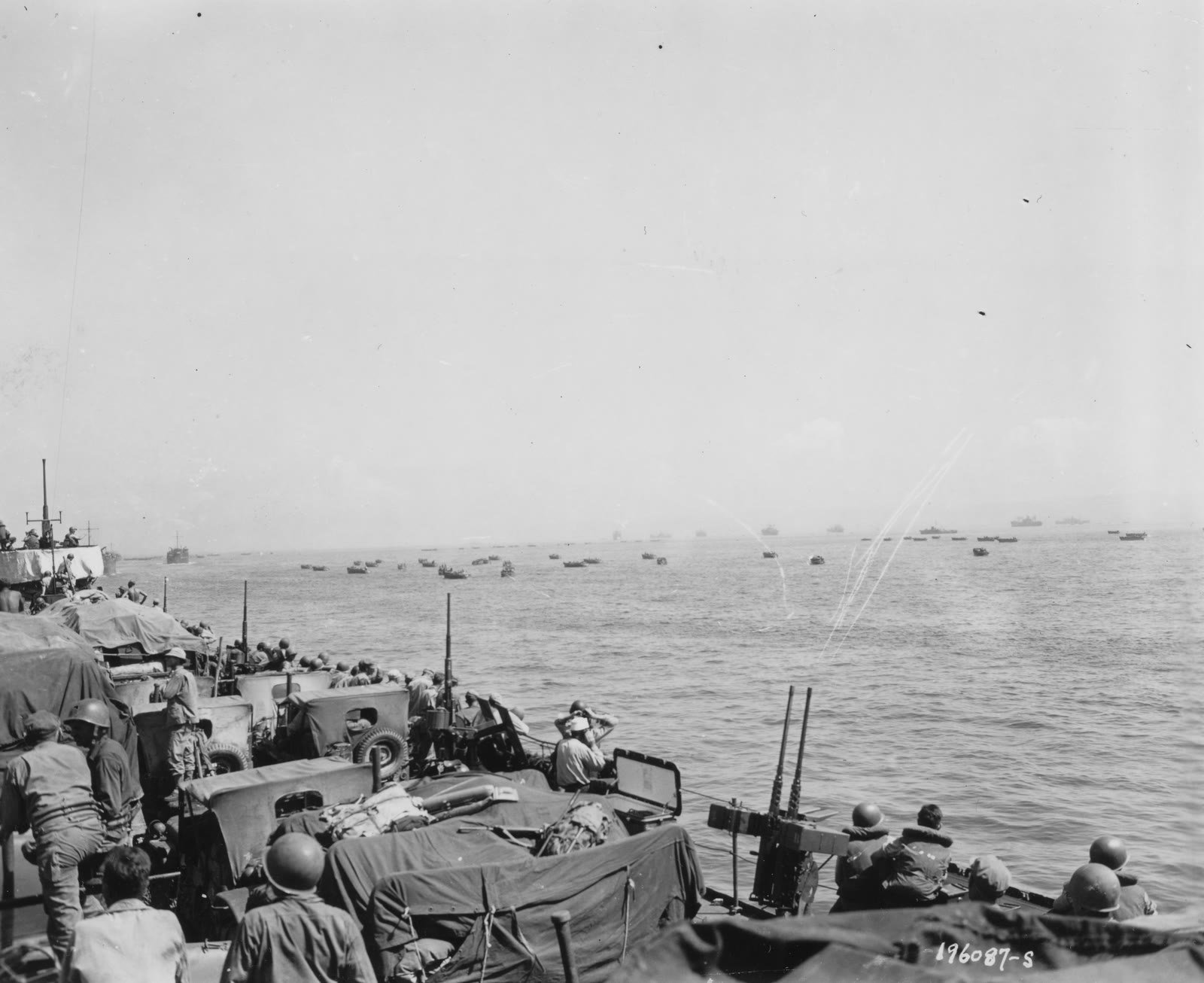
Leyte
SC 196087-S - LCTs move onto a beach on Leyte Island, P.I., under mortar fire from shore positions. 20 October, 1944. (51990742910)
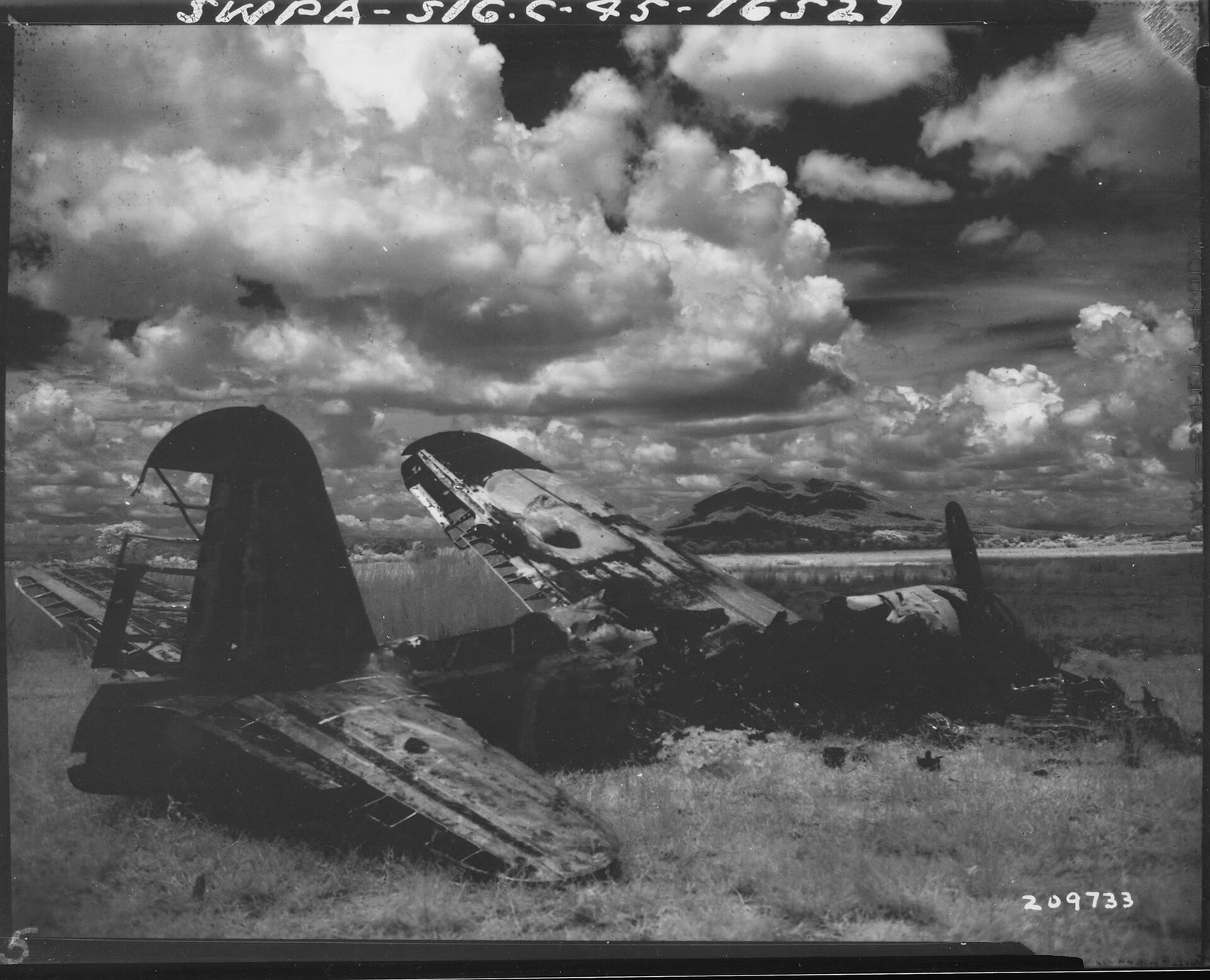
Angeles City
Infra red view of wrecked Japanese plane near Angeles, Pampanga, on Luzon, Philippine Islands In the background is Mount Arayat, some 10 to 15 miles away.
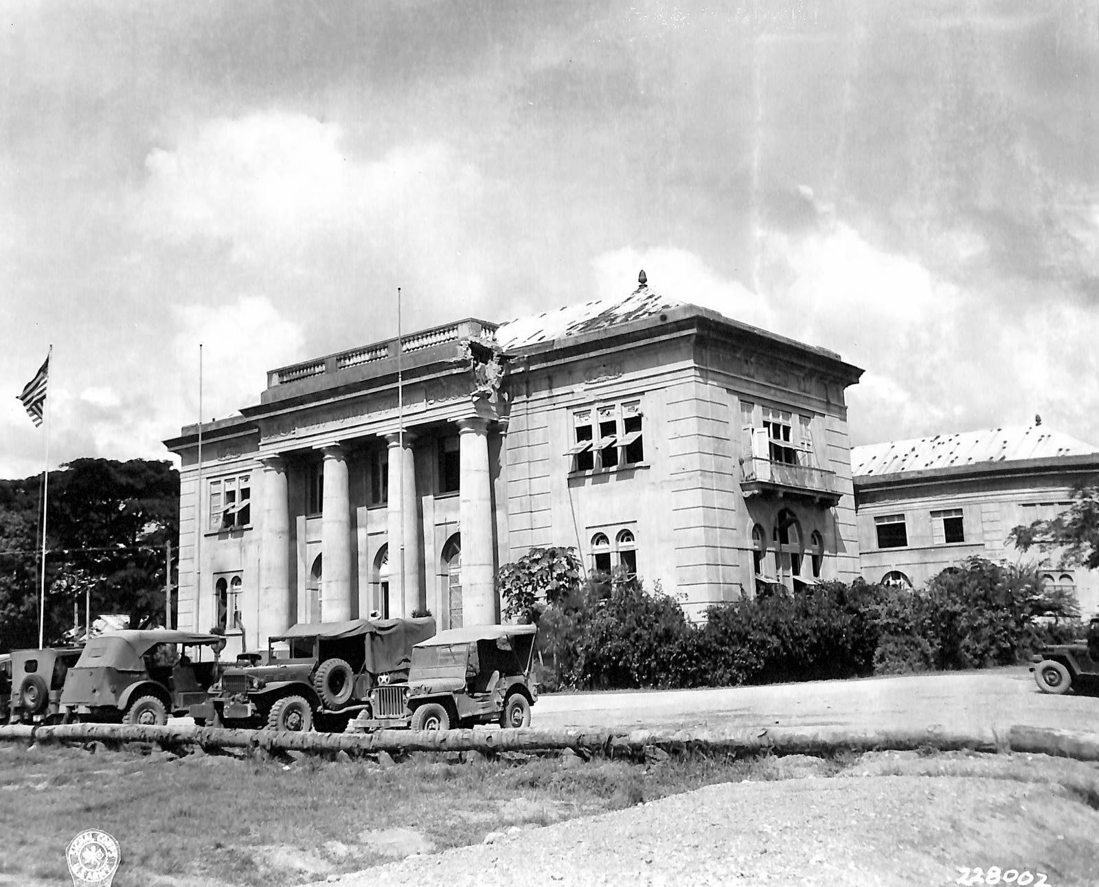
Cebu City
Cebu Normal School (1945)
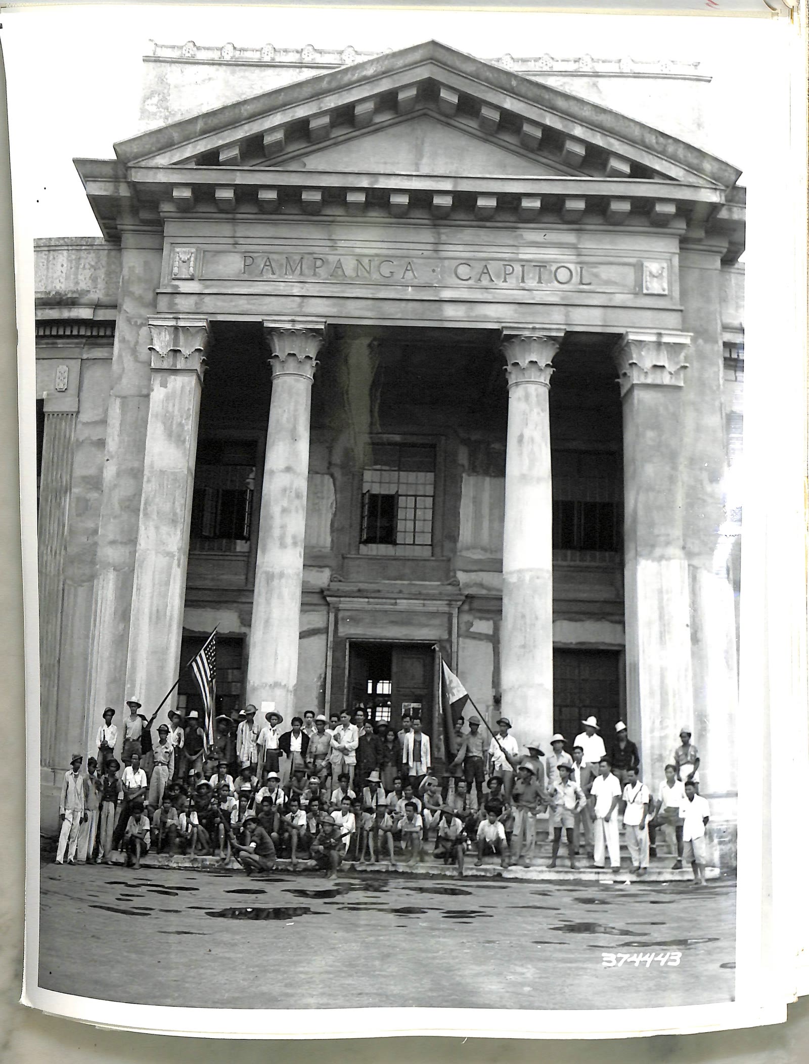
San Fernando City
Pampanga Provincial Capitol 1945


Sources
Page updated October 9, 2026. Archive catalog release e205c7180a5b.
Who holds the pictures on this page, and their rights. Each picture's own page names its record.
- 1.Boston Public Library, Norman B. Leventhal Map & Education Center Collection. 7 pictures. No known restrictions.
- 2.The U.S. National Archives. 2 pictures. Public domain.
- 3.Flickr. 2 pictures. Public domain.
- 4.Wikimedia Commons. 1 picture. Public domain.
- 5.U.S. National Archives. 1 picture. Public domain.
Every holder, licence and author in the Archive: Data and credits.
See something wrong on this page? Write to hello@scene.ph with the page address. We check every report against the source.