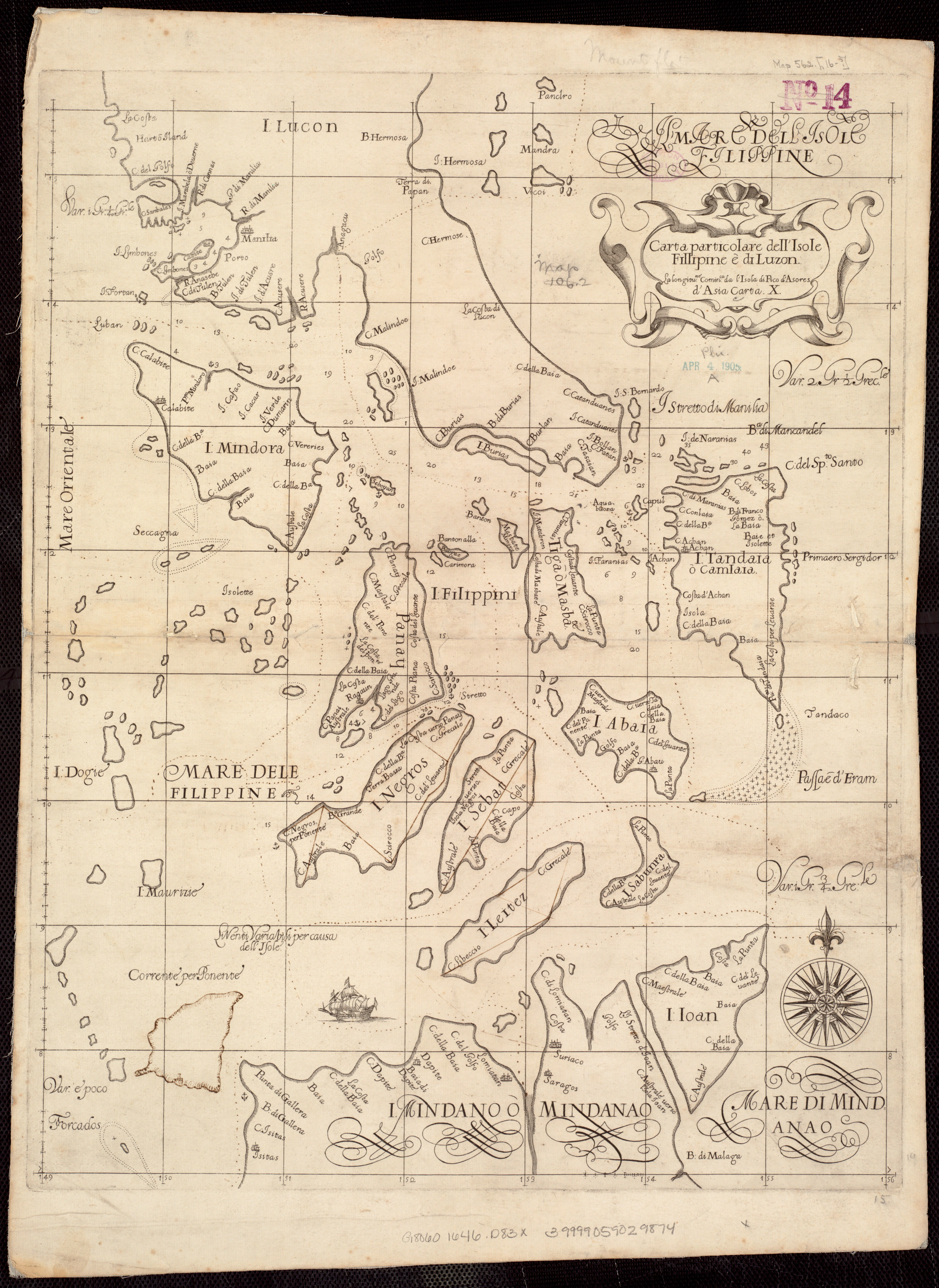
Map · 1646–1647 · The Philippines
Carta particolare dell'Isole Fillipine è di Luzon : la longitune. cominca. de l'Isola di Pico d'Asores : d'Asia carta X

Open a larger copyThe full scan is on its record at the Norman B. Leventhal Map & Education Center.
Its record
- Kind
- Map
- Made by
- Dudley, Robert, Sir, 1574-1649
- Date
- [1646–1647] · The institution's record
- Held by
- Boston Public Library, Norman B. Leventhal Map & Education Center Collection
- Catalogue number
- https://ark.digitalcommonwealth.org/ark:/50959/kk91fq27t; call no. G8060 1646 .D83x; commonwealth:kk91fq27t
- Rights
- No known restrictions
- Credit
- Dudley, Robert, Sir, 1574-1649, Boston Public Library, Norman B. Leventhal Map & Education Center Collection
- Named in it
- Isole Fillipine è di Luzon
- Scene archive number
- country-philippines-01
- The holder's rights statement
No known copyright restrictions. No known restrictions on use.
Its place today, in the Atlas
The PhilippinesHow many people live there today, its towns, its map and its history.
More of the Philippines
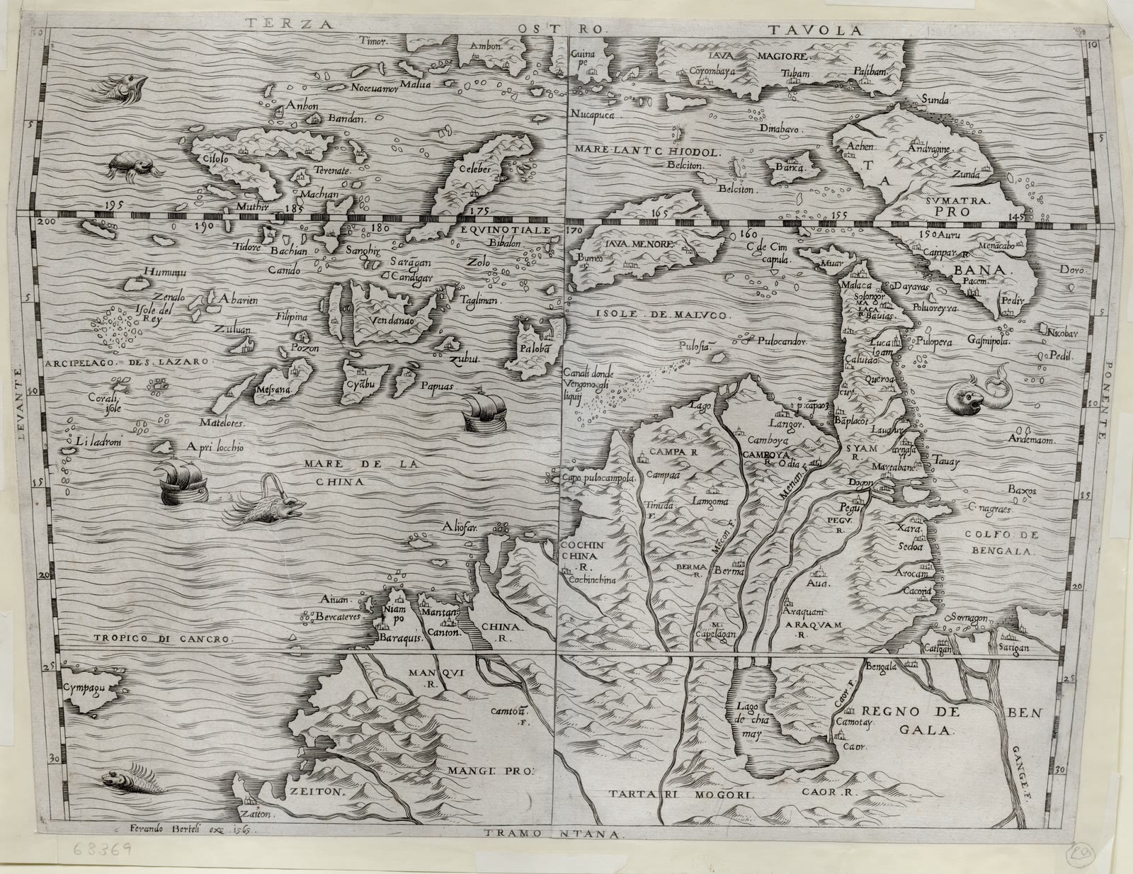
Terza Tavola
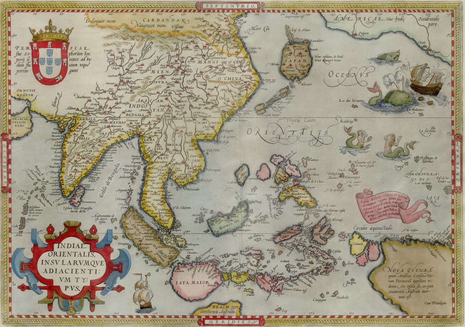
Indiae orientalis insvlarvmqve adiacientivm typvs
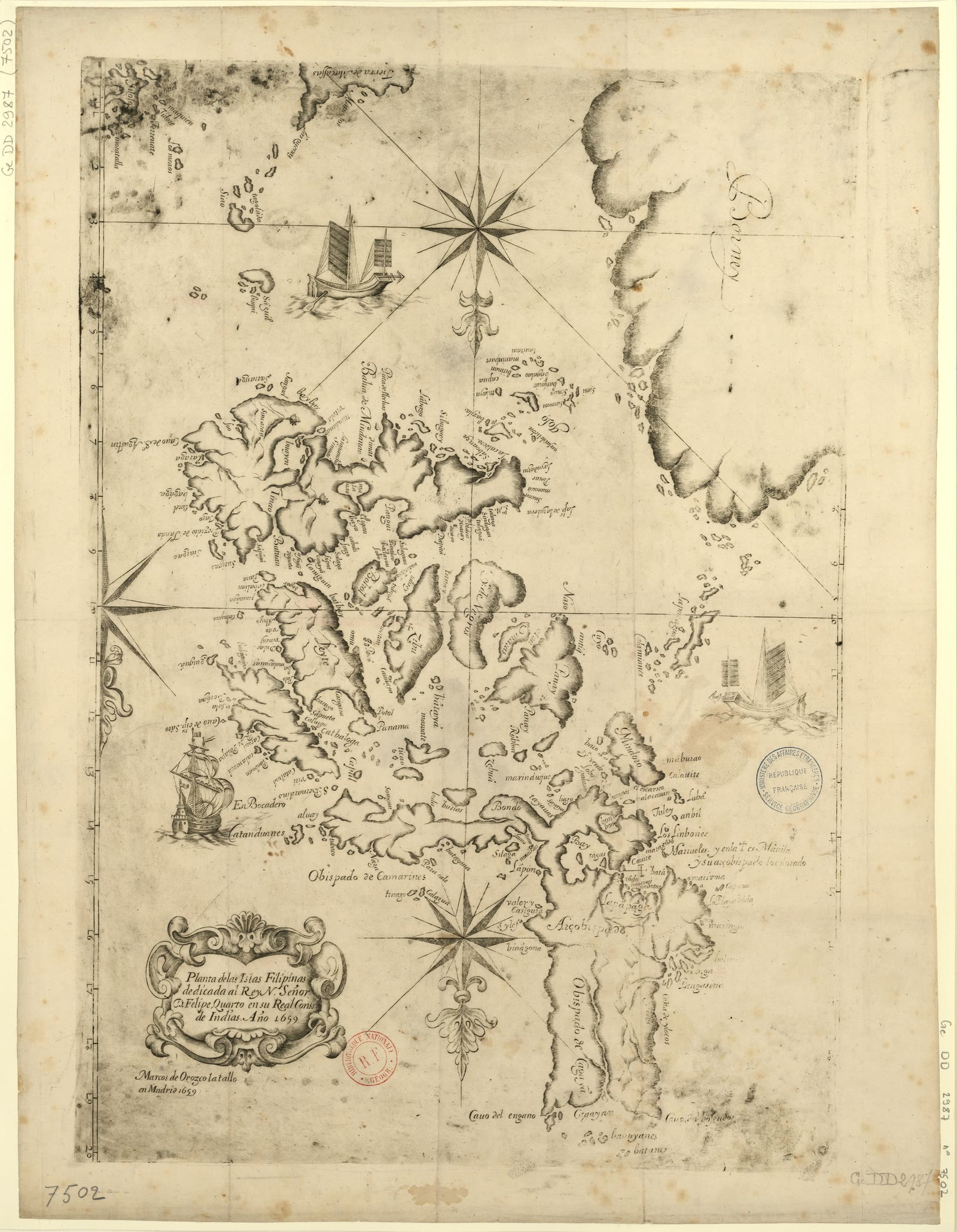
Planta de las islas Filipinas
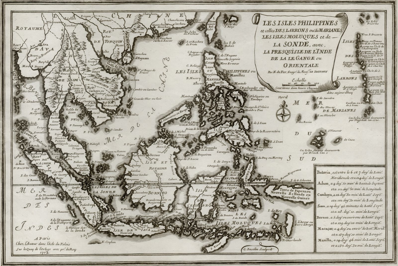
Les isles Philippines et celles des Larrons ou de Marianes, les isles Moluques et de la Sonde
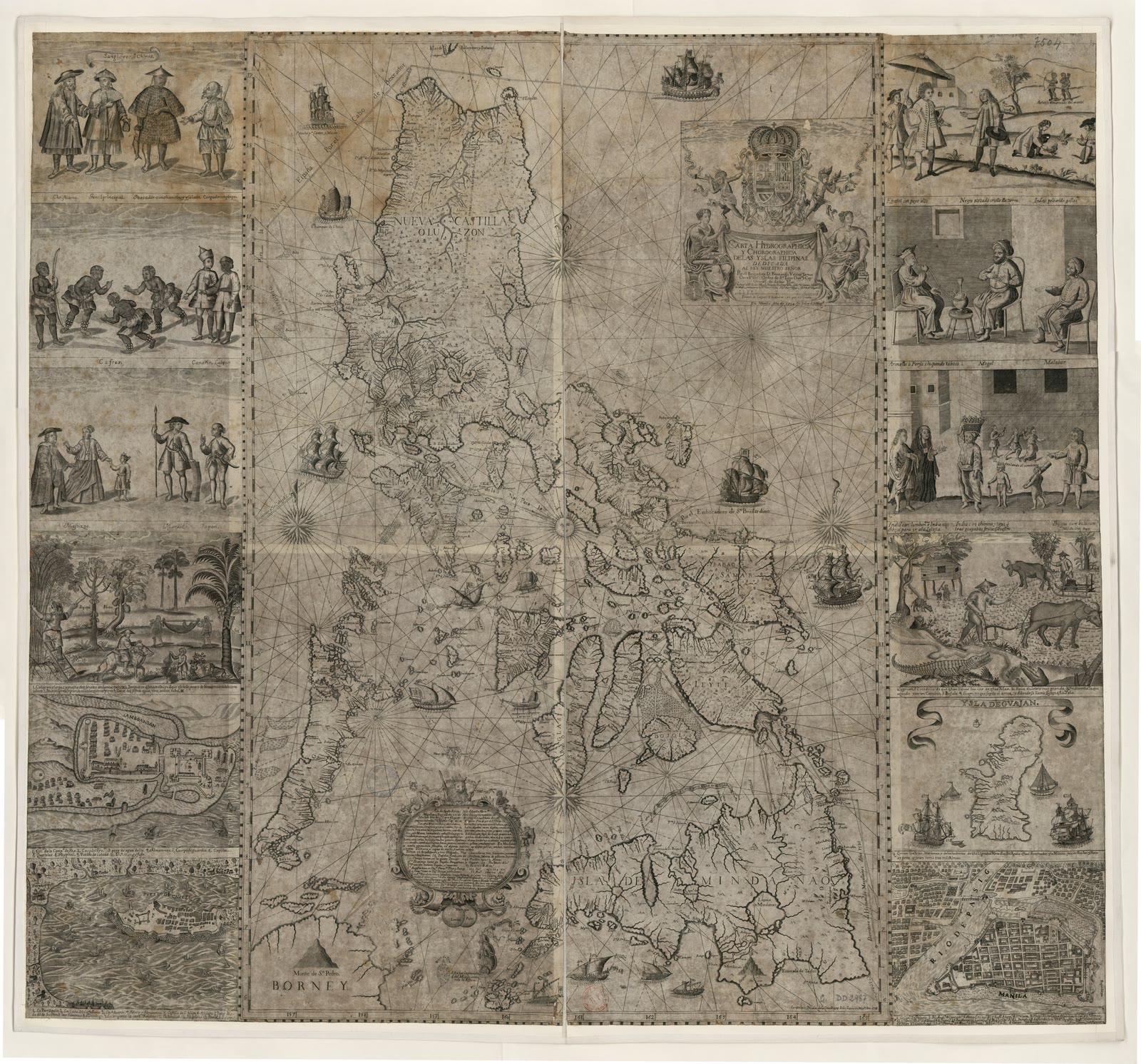
Carta hydrographica y chorographica delas yslas Filipinas
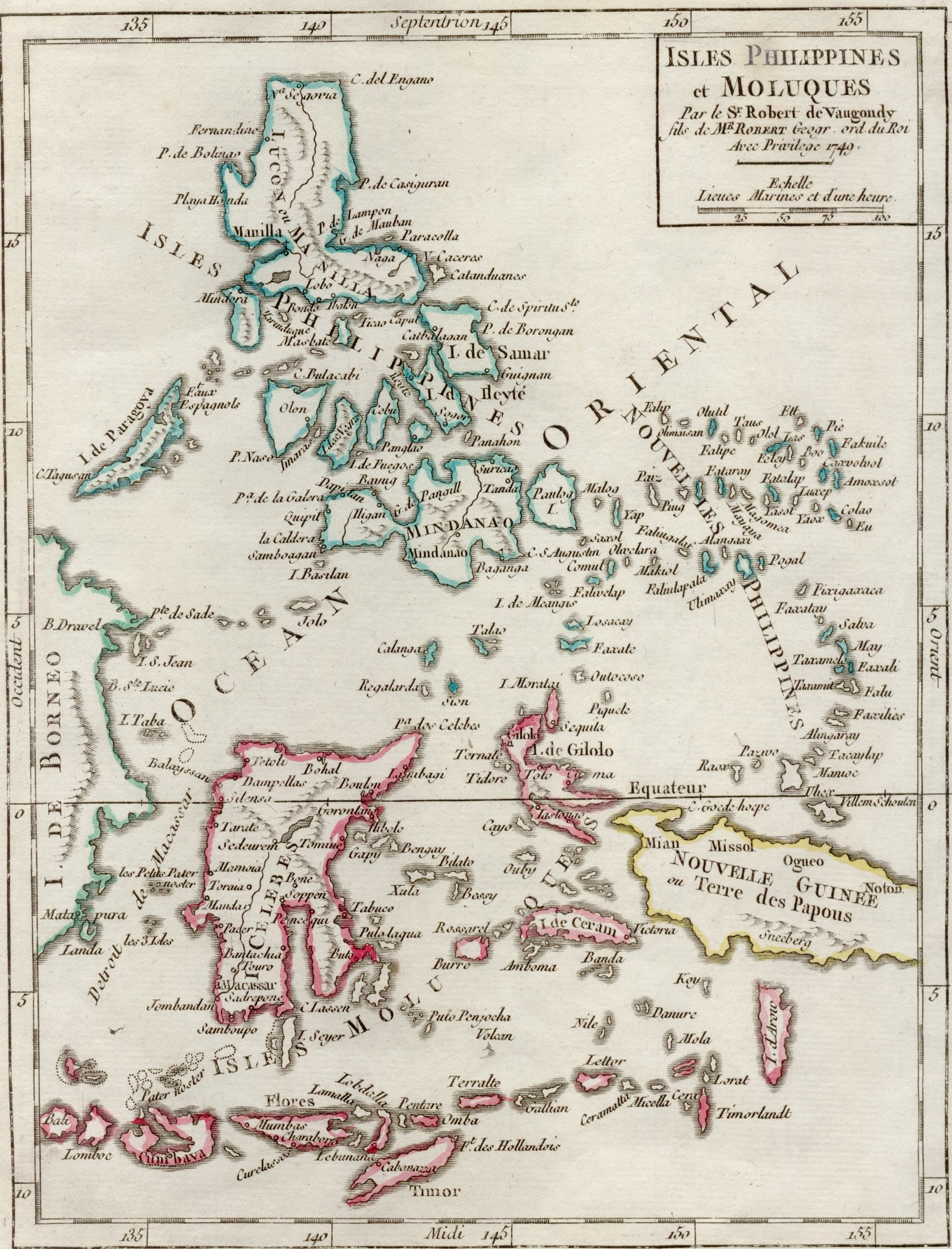
Isles Philippines et Moluques
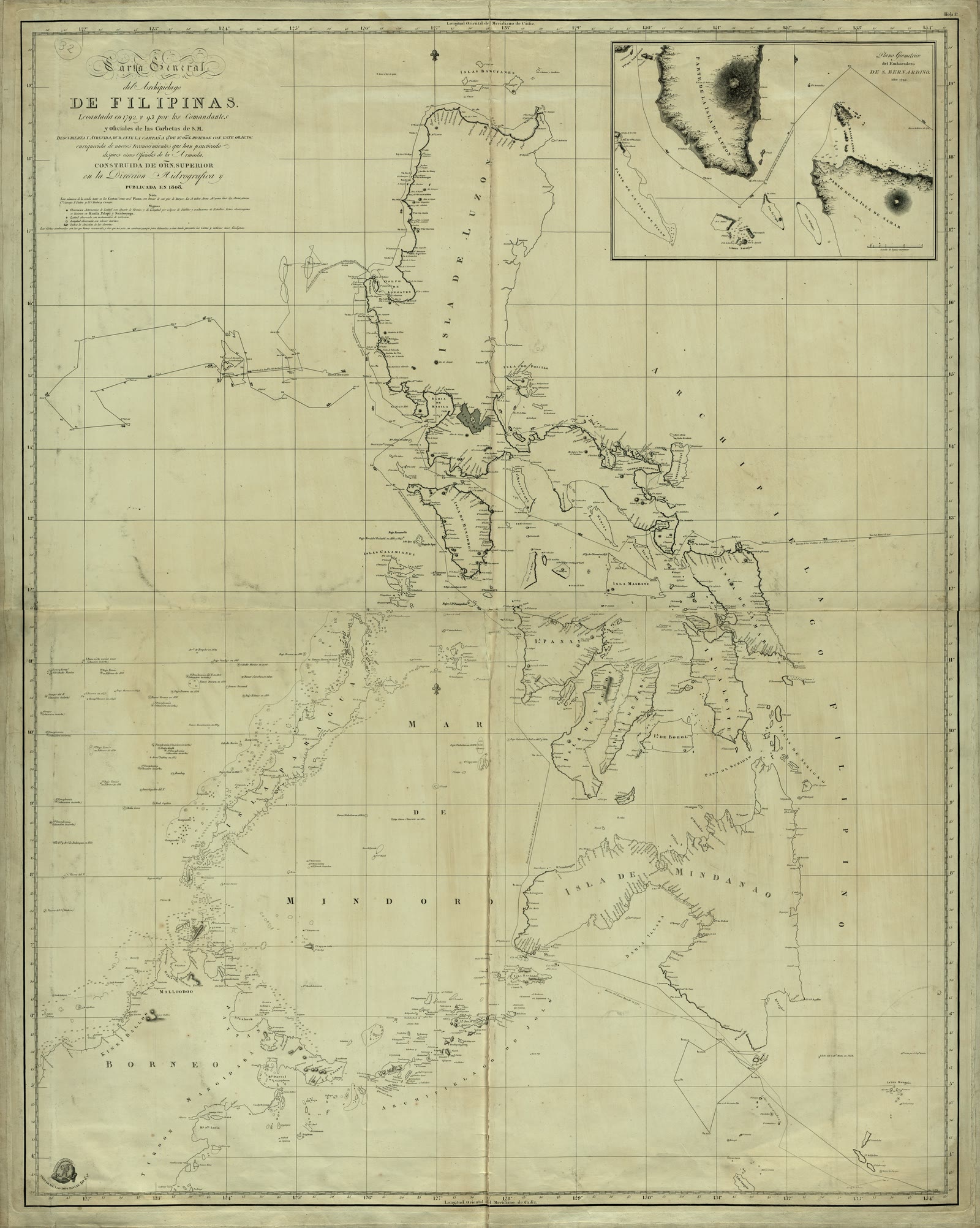
Carta General del Archipielago de Filipinas / Levantada en 1792 y 93 por los Comandantes y Oficiales de las Corbetas de S.M. Descubierta y Atrevida, durante la Campaña que de Rl. Orden hicieron con este objeto, enriquecida de menos reconocimientos que han practicado despues otros Oficiales de la Armada ; Construida de Orn. Superior de la Dirección Hidrográfica y publicada en 1808 ; C. Noguera la delineó ; Cardano la grabó ; J. Morata la escribió
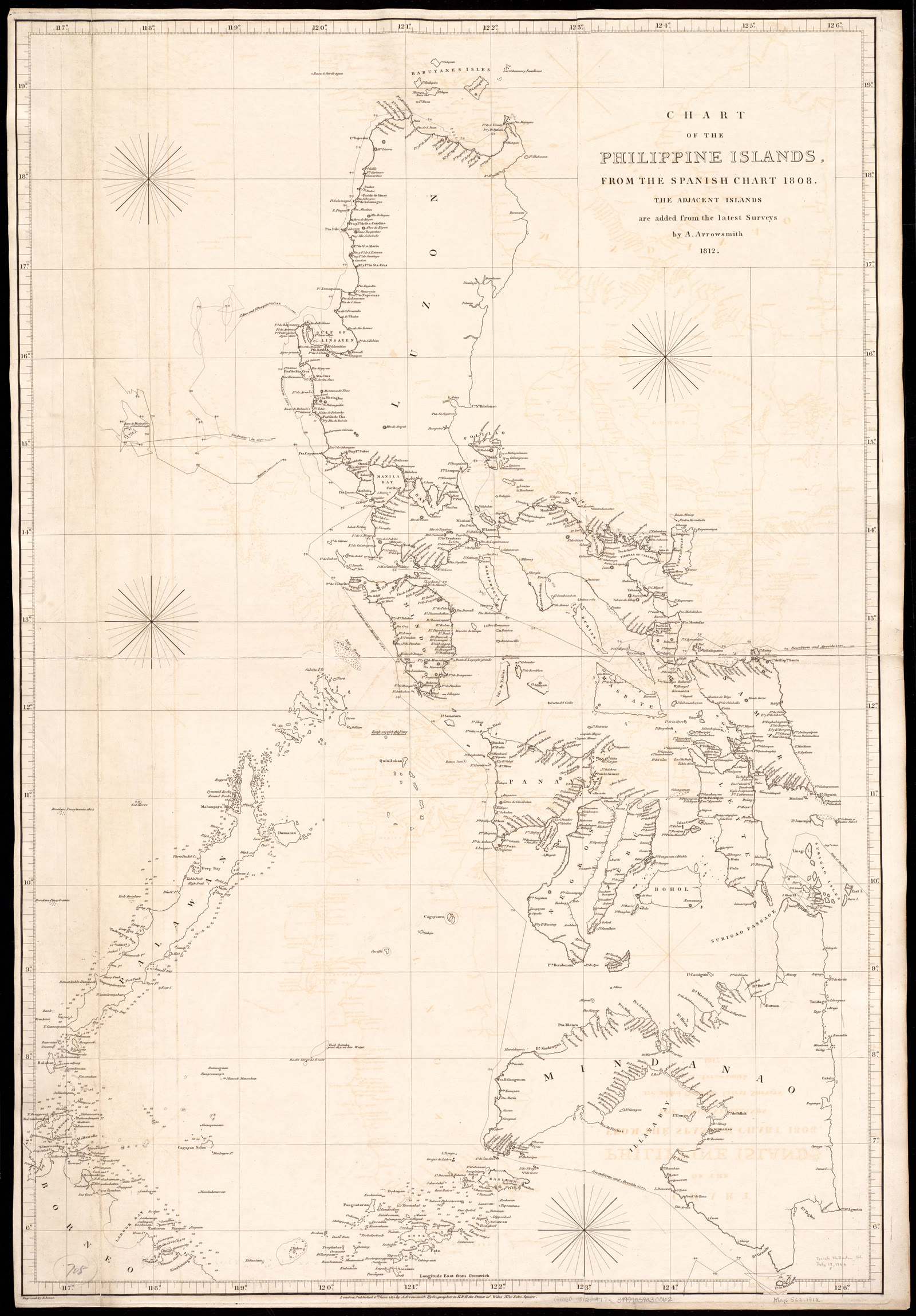
Chart of the Philippine Islands, from the Spanish chart 1808 : the adjacent islands are added from the latest surveys


Sources
Page updated October 9, 2026. Archive catalog release e205c7180a5b.
The record this picture is shown from: its holder, its rights, and the page where the full scan is kept.
- 1.Boston Public Library, Norman B. Leventhal Map & Education Center Collection. No known restrictions. Open the source
Every holder, licence and author in the Archive: Data and credits.
See something wrong on this page? Write to hello@scene.ph with the page address. We check every report against the source.