Old maps and photographs of Marinduque
3 pictures · 1 map, made 1920, from the American era. Each with the archive that holds it, its date and its rights.
Pictures, oldest first
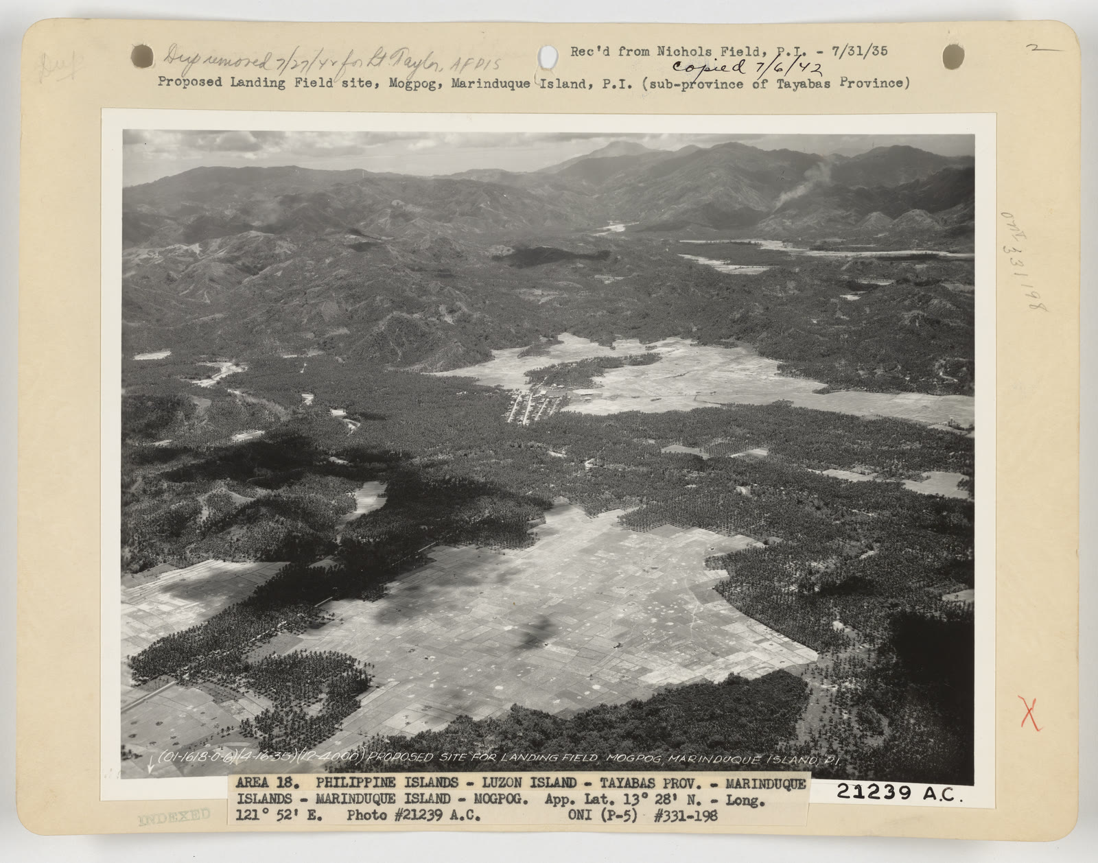
Landing Fields - Philippines - Marinduque Island
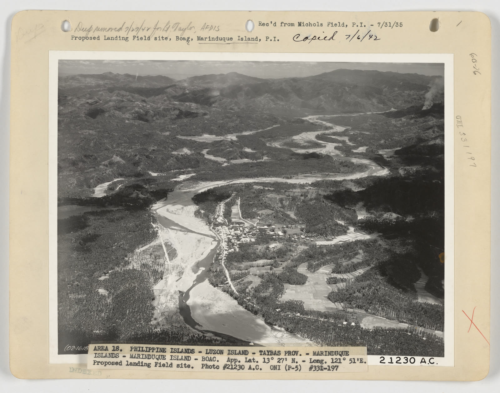
Landing Fields - Philippines - Marinduque Island


Sources
Page updated October 9, 2026. Archive catalog release e205c7180a5b.
Who holds the pictures on this page, and their rights. Each picture's own page names its record.
- 1.Wikimedia Commons. 2 pictures. Public domain.
Every holder, licence and author in the Archive: Data and credits.
See something wrong on this page? Write to hello@scene.ph with the page address. We check every report against the source.