Map · 1899 · Luzon
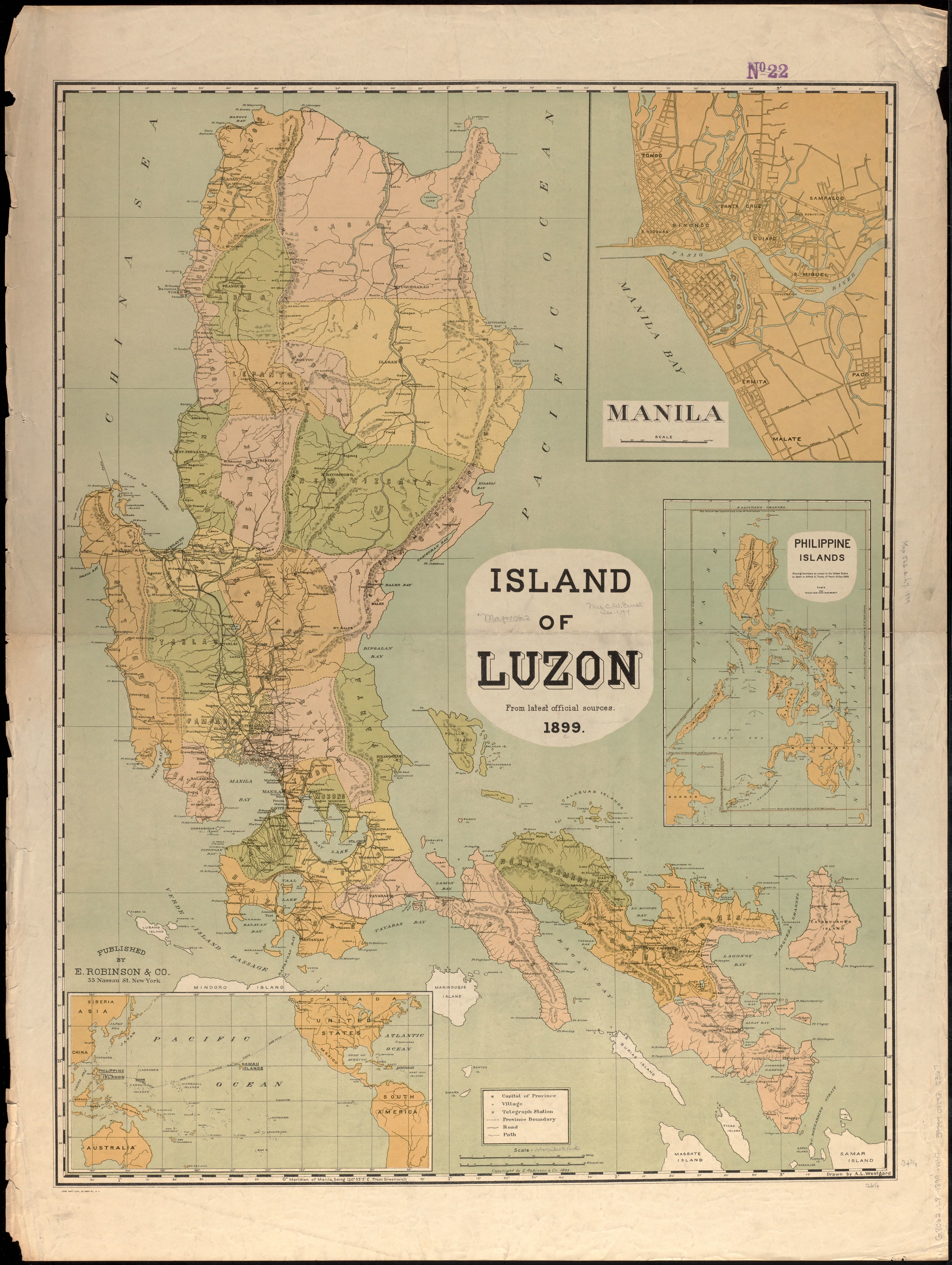
Island of Luzon : from the latest official sources

Open a larger copyThe full scan is on its record at the Norman B. Leventhal Map & Education Center.
Its record
- Kind
- Map
- Made by
- Westgard, A. L.; E. Robinson & Co.
- Date
- 1899 · The institution's record
- Held by
- Boston Public Library, Norman B. Leventhal Map & Education Center Collection
- Catalogue number
- https://ark.digitalcommonwealth.org/ark:/50959/x920jf54h; call no. G8062.L8 1899 .W47; commonwealth:x920jf54h
- Rights
- No known restrictions
- Credit
- Westgard, A. L.; E. Robinson & Co., Boston Public Library, Norman B. Leventhal Map & Education Center Collection
- Named in it
- Island of Luzon
- Scene archive number
- island-group-luzon-01
- The holder's rights statement
No known copyright restrictions. No known restrictions on use.
Its place today, in the Atlas
LuzonHow many people live there today, its towns, its map and its history.
More of Luzon
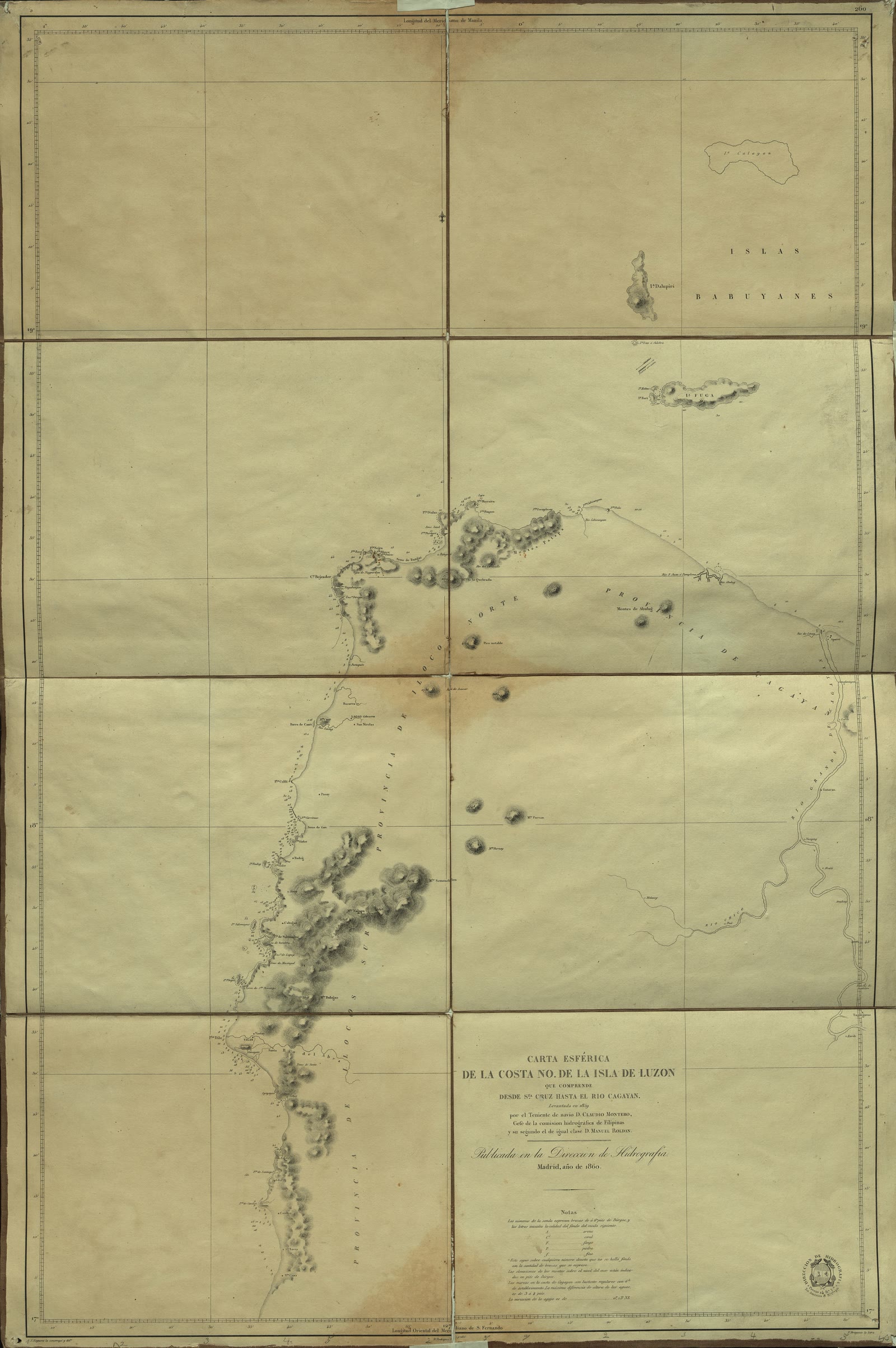
Carta esferica de la Costa NO de la Isla de Luzón que comprende desde Sta. Cruz hasta el Rio Cagayan
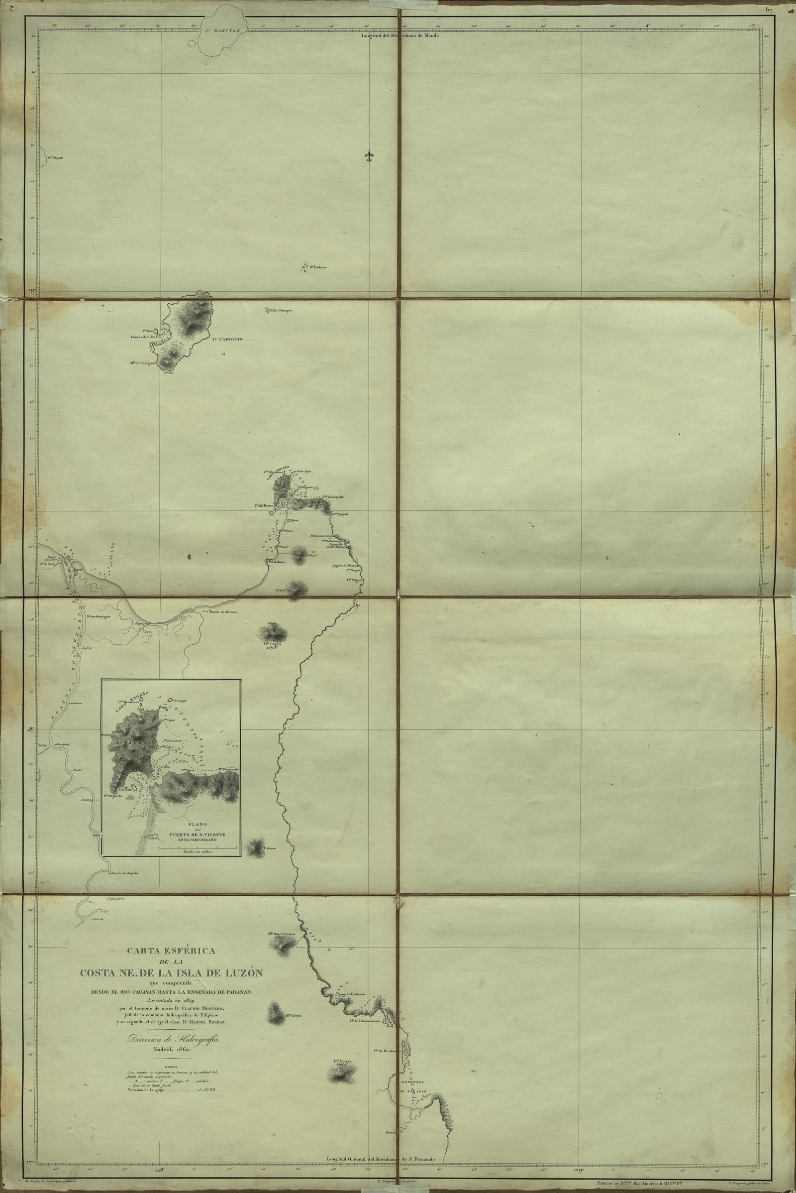
Carta Esférica de la costa NE. de la Isla de Luzón que comprende desde el Río Cagayan hasta la ensenada de Paranan
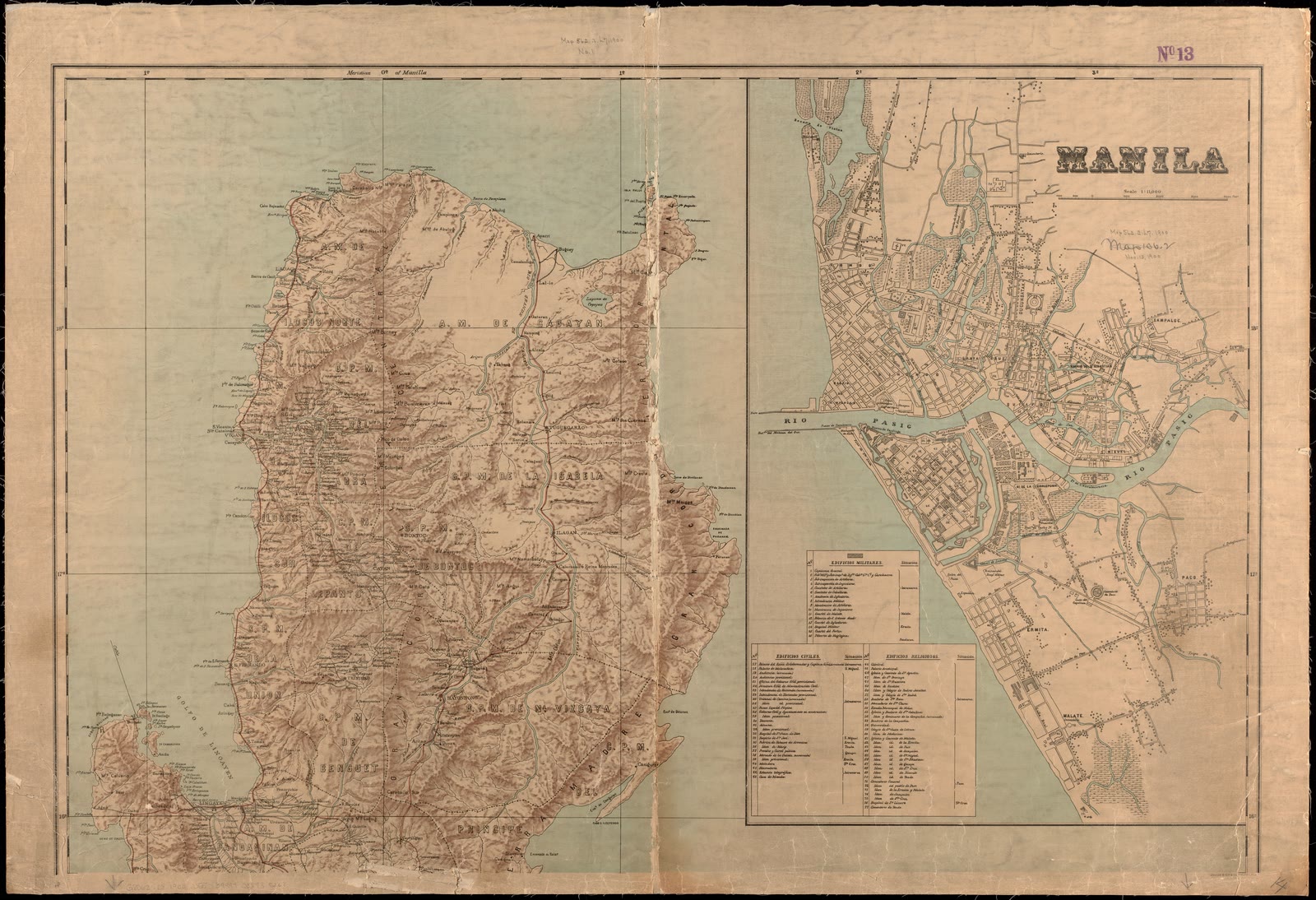
Military map of the isle of Luzon
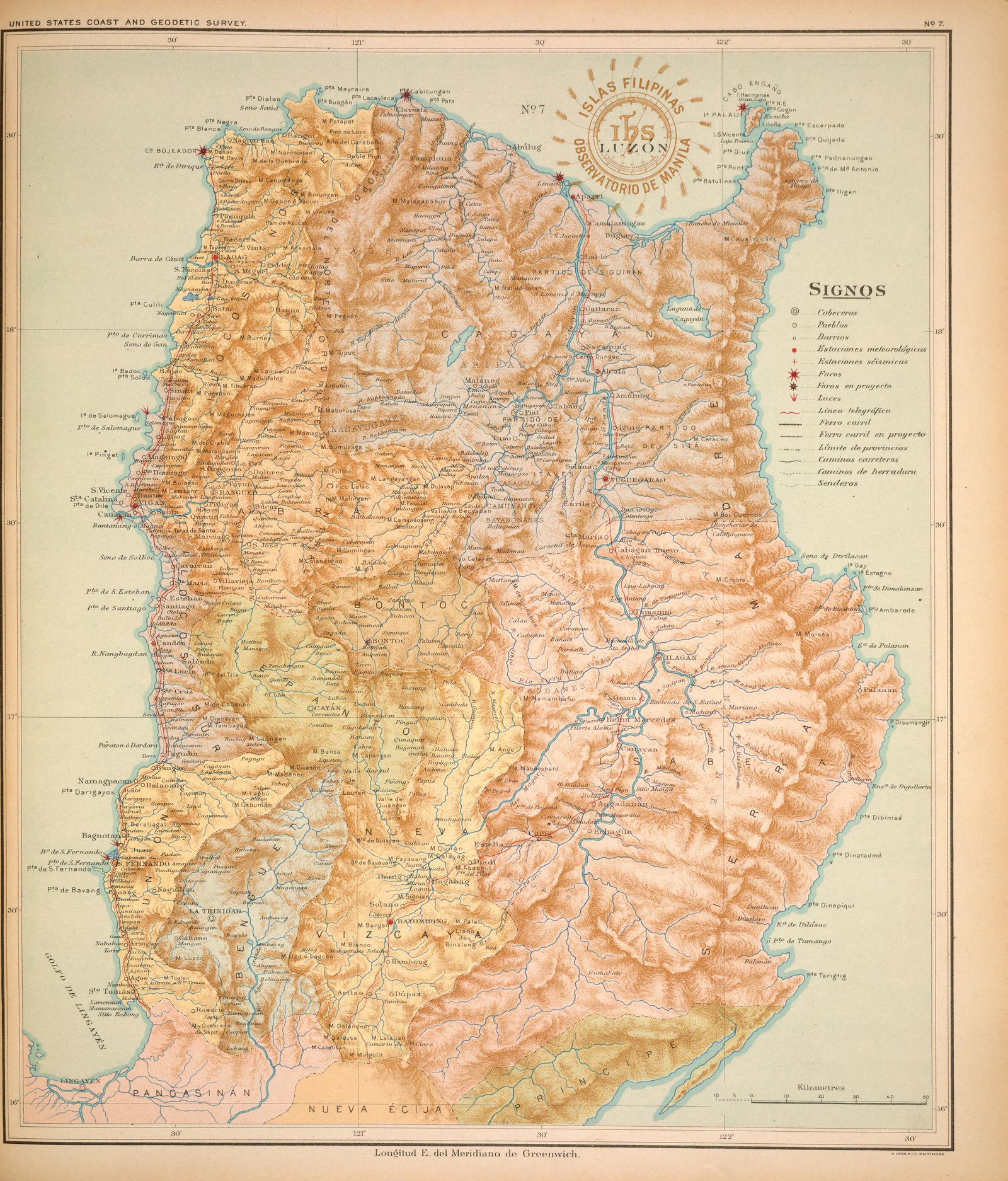
Atlas of the Philippine Islands (Atlas de Filipinas), No. 7: Isla de Luzón [The island of Luzon]


Sources
Page updated October 9, 2026. Archive catalog release e205c7180a5b.
The record this picture is shown from: its holder, its rights, and the page where the full scan is kept.
- 1.Boston Public Library, Norman B. Leventhal Map & Education Center Collection. No known restrictions. Open the source
Every holder, licence and author in the Archive: Data and credits.
See something wrong on this page? Write to hello@scene.ph with the page address. We check every report against the source.