Dataset
Borders, neighbours and locations of Philippine places
The outline of every place on the map, the places it shares a border with, and a point inside it.
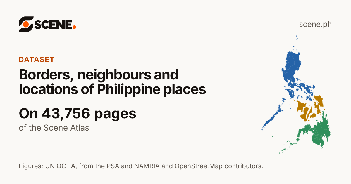
This is how the link shows on Facebook, Messenger, Viber, WhatsApp and X.
Or share on
- Share on Facebook (opens in a new tab)
- Share on WhatsApp (opens in a new tab)
- Share on Viber (opens the Viber app)
- Share on X (opens in a new tab)
- Share on Telegram (opens in a new tab)
- Share on Threads (opens in a new tab)
- Share on LINE (opens in a new tab)
- Share on LinkedIn (opens in a new tab)
- Share on Reddit (opens in a new tab)
- Share on Pinterest (opens in a new tab)
- Share on Bluesky (opens in a new tab)
- Share on Tumblr (opens in a new tab)
- Share by SMS (opens your messages app)
- Share by Email
Viber opens the Viber app on this device. Without it, copy the link above.
- The figures describe
- February 13, 2025
- Scene last read its sources
- October 8, 2026
- Shown on the pages of
- 3 island groups, 18 regions, 83 provinces, 149 cities, 1,493 municipalities, 42,010 barangays
- Figures made by
- UN OCHA, from the PSA and NAMRIA; OpenStreetMap contributors; Scene.ph
About this dataset
Every place of the Philippines drawn from the barangay borders of UN OCHA's Common Operational Dataset (from the PSA and NAMRIA) and, where those have none, OpenStreetMap: each city and municipality as its barangays joined, each province as its towns, each region as the towns it governs. Scene works out from them which places share a border, a point inside each place, and the straight-line distance between places. A border on Scene is a guide, not the legal boundary, and the borders are never offered for download.
How the figures were made: Drawn and measured by Scene from published borders; not a survey.
What Scene adds: The outlines of cities, municipalities, provinces, regions and island groups, the neighbours, the locations and the distances.
What it holds
- Outline
- The place's border as drawn on its map, joined from its barangays' borders.
- Neighbours
- The places whose borders run alongside its own for at least 75 metres.
- Location
- The point inside its border farthest from every edge, as latitude and longitude.
- Nearest towns
- The six cities and municipalities nearest a city or municipality, in a straight line.
Where it comes from
UN OCHA, from the PSA and NAMRIA
Philippines: Subnational Administrative Boundaries (COD-AB), barangay layer
Published February 13, 2025. Read by Scene September 25, 2026. Licence: CC BY-IGO 3.0.
Open the sourceOpenStreetMap contributors
Barangay boundaries from OpenStreetMap, where UN OCHA's layer has none
Published September 25, 2026. Read by Scene September 25, 2026. Licence: ODbL 1.0.
Open the source
How to cite it
UN OCHA, from the PSA and NAMRIA; OpenStreetMap contributors. Borders, neighbours and locations of Philippine places, compiled by Scene.ph. https://scene.ph/atlas/sources/borders. Read October 8, 2026.